Area Overview for LU3 1RG
Photos of LU3 1RG
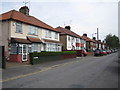
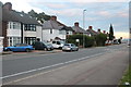
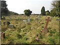
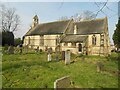
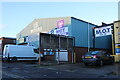
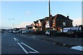

7 photos from this area
Area Information
Key information about the LU3 1RG including its size, population, and administrative classification.
- Area Type
- Postcode
- Area Size
- 6978 m²
- Population
- 2398
- Population Density
- 10354 people/km²
House Prices in LU3 1RG
28
Properties
£138,719
Average Sold Price
£38,500
Lowest Price
£260,000
Highest Price
Showing 28 properties
| Address | Type | Beds | Baths | Last Sale Price | Last Sale Date | |
|---|---|---|---|---|---|---|
| 418 Leagrave Road, Luton, LU3 1RG | Terraced | 2 | 1 | £260,000 | Mar 2024 | |
| 390 Leagrave Road, Luton, LU3 1RG | house | - | - | £184,047 | Nov 2017 | |
| 402 Leagrave Road, Luton, LU3 1RG | Terraced | 2 | - | £167,000 | May 2017 | |
| 406 Leagrave Road, Luton, LU3 1RG | Semi-detached | 3 | 1 | £200,000 | Jan 2016 | |
| 382 Leagrave Road, Luton, LU3 1RG | Semi-detached | 3 | 2 | £59,299 | Jan 2015 | |
| 404 Leagrave Road, Luton, LU3 1RG | house | - | - | £155,000 | Aug 2007 | |
| 408 Leagrave Road, Luton, LU3 1RG | Terraced | 3 | 2 | £155,000 | Jun 2007 | |
| 410 Leagrave Road, Luton, LU3 1RG | Terraced | 3 | 1 | £140,500 | Jul 2006 | |
| 394 Leagrave Road, Luton, LU3 1RG | Terraced | - | - | £135,000 | Dec 2005 | |
| 414 Leagrave Road, Luton, LU3 1RG | house | - | - | £124,000 | Nov 2003 |
Page 1 of 3
Energy Efficiency in LU3 1RG
Amenities
Schools
| Rank | School | Type | Entry gender | Ages |
|---|
Explore more schools in this area
Go to Schools tabDemographics
Household Size
Family (3-5 people)
most common
Accommodation Type
Houses
most common
Tenure
61
majority
Ethnic Group
asian_total
most common
Religion
N/A
most common
Household Composition
N/A
most common
Age
47
median
Adults (30-64 years)
most common
Household Deprivation
N/A
with no deprivation
NS-SEC
19
in Lower managerial occupations
Explore more demographic insights in this area
Go to Demographics tabPlanning
Planning Constraints
- Flood RiskPremium
- Ramsar Wetland SitesPremium
- Area of Outstanding Natural BeautyPremium
- Protected Nature ReservePremium
- Protected WoodlandPremium