Area Overview for LU2 9SG
Photos of LU2 9SG
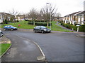
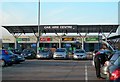
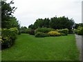
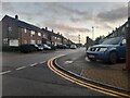
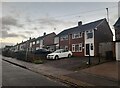
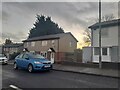
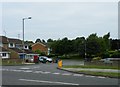
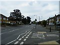
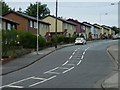
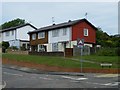
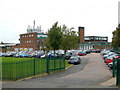
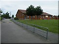
23 photos from this area
Area Information
Key information about the LU2 9SG including its size, population, and administrative classification.
- Area Type
- Postcode
- Area Size
- 1.7 hectares
- Population
- 1445
- Population Density
- 719 people/km²
House Prices in LU2 9SG
46
Properties
£219,828
Average Sold Price
£64,500
Lowest Price
£405,000
Highest Price
Showing 46 properties
| Address | Type | Beds | Baths | Last Sale Price | Last Sale Date | |
|---|---|---|---|---|---|---|
| 38 Barford Rise, Luton, LU2 9SG | Semi-detached | 3 | 2 | £330,000 | Oct 2023 | |
| 2 Barford Rise, Luton, LU2 9SG | Detached | 3 | 2 | £405,000 | Feb 2022 | |
| 18 Barford Rise, Luton, LU2 9SG | house | - | - | £370,000 | Jun 2021 | |
| 17 Barford Rise, Luton, LU2 9SG | house | - | - | £352,500 | Jun 2021 | |
| 37 Barford Rise, Luton, LU2 9SG | house | - | - | £380,000 | Jun 2021 | |
| 9 Barford Rise, Luton, LU2 9SG | Semi-detached | 3 | 1 | £340,000 | Apr 2021 | |
| 32 Barford Rise, Luton, LU2 9SG | Semi-detached | 3 | 1 | £305,000 | Feb 2020 | |
| 25 Barford Rise, Luton, LU2 9SG | Semi-detached | 3 | - | £295,000 | Nov 2018 | |
| 28 Barford Rise, Luton, LU2 9SG | Semi-detached | 3 | 1 | £285,000 | Nov 2018 | |
| 8 Barford Rise, Luton, LU2 9SG | house | 3 | 2 | £375,000 | Jun 2018 |
Page 1 of 5
Energy Efficiency in LU2 9SG
Amenities
Schools
| Rank | School | Type | Entry gender | Ages |
|---|
Explore more schools in this area
Go to Schools tabDemographics
Household Size
Family (3-5 people)
most common
Accommodation Type
Houses
most common
Tenure
76
majority
Ethnic Group
White
most common
Religion
N/A
most common
Household Composition
N/A
most common
Age
47
median
Adults (30-64 years)
most common
Household Deprivation
N/A
with no deprivation
NS-SEC
33
in Lower managerial occupations
Explore more demographic insights in this area
Go to Demographics tabPlanning
Planning Constraints
- Flood RiskPremium
- Ramsar Wetland SitesPremium
- Area of Outstanding Natural BeautyPremium
- Protected Nature ReservePremium
- Protected WoodlandPremium