Area Overview for LU2 9AF
Photos of LU2 9AF
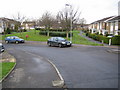
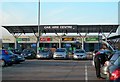
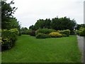
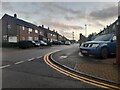
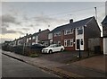
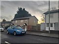
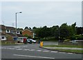
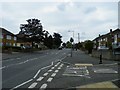
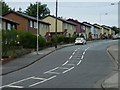
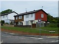
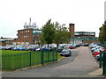
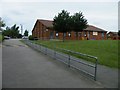
23 photos from this area
Area Information
Key information about the LU2 9AF including its size, population, and administrative classification.
- Area Type
- Postcode
- Area Size
- 2.6 hectares
- Population
- 1708
- Population Density
- 4778 people/km²
House Prices in LU2 9AF
34
Properties
£243,000
Average Sold Price
£47,000
Lowest Price
£365,000
Highest Price
Showing 34 properties
| Address | Type | Beds | Baths | Last Sale Price | Last Sale Date | |
|---|---|---|---|---|---|---|
| 330 Ashcroft Road, Luton, LU2 9AF | Semi-detached | 3 | 1 | £275,000 | Dec 2024 | |
| 369 Ashcroft Road, Luton, LU2 9AF | Bungalow | 2 | - | £365,000 | Apr 2024 | |
| 355 Ashcroft Road, Luton, LU2 9AF | Bungalow | 3 | 2 | £355,000 | Mar 2024 | |
| 379 Ashcroft Road, Luton, LU2 9AF | Bungalow | 2 | 1 | £270,000 | Oct 2021 | |
| 357 Ashcroft Road, Luton, LU2 9AF | Detached | 3 | 1 | £315,000 | May 2021 | |
| 387 Ashcroft Road, Luton, LU2 9AF | Bungalow | - | - | £250,000 | Oct 2020 | |
| 385 Ashcroft Road, Luton, LU2 9AF | Bungalow | - | - | £230,000 | Jan 2020 | |
| 381 Ashcroft Road, Luton, LU2 9AF | Semi-detached | 2 | 1 | £252,000 | Jan 2019 | |
| 371 Ashcroft Road, Luton, LU2 9AF | Bungalow | 3 | 1 | £290,000 | Dec 2017 | |
| 367 Ashcroft Road, Luton, LU2 9AF | Semi-detached | 3 | - | £250,000 | Sep 2016 |
Page 1 of 4
Energy Efficiency in LU2 9AF
Amenities
Schools
| Rank | School | Type | Entry gender | Ages |
|---|
Explore more schools in this area
Go to Schools tabDemographics
Household Size
Family (3-5 people)
most common
Accommodation Type
Houses
most common
Tenure
61
majority
Ethnic Group
White
most common
Religion
N/A
most common
Household Composition
N/A
most common
Age
47
median
Adults (30-64 years)
most common
Household Deprivation
N/A
with no deprivation
NS-SEC
22
in Lower managerial occupations
Explore more demographic insights in this area
Go to Demographics tabPlanning
Planning Constraints
- Flood RiskPremium
- Ramsar Wetland SitesPremium
- Area of Outstanding Natural BeautyPremium
- Protected Nature ReservePremium
- Protected WoodlandPremium