Area Overview for LU2 7TW
Photos of LU2 7TW
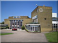
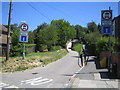
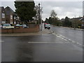
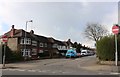
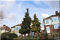
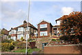
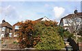
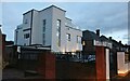
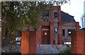

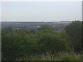
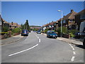
14 photos from this area
Area Information
Key information about the LU2 7TW including its size, population, and administrative classification.
- Area Type
- Postcode
- Area Size
- 1.0 hectares
- Population
- 1917
- Population Density
- 5071 people/km²
House Prices in LU2 7TW
56
Properties
£131,087
Average Sold Price
£54,500
Lowest Price
£220,000
Highest Price
Showing 56 properties
| Address | Type | Beds | Baths | Last Sale Price | Last Sale Date | |
|---|---|---|---|---|---|---|
| 24 Birchen Grove, Luton, LU2 7TW | Maisonette | 2 | 1 | £182,500 | Sep 2025 | |
| 34 Birchen Grove, Luton, LU2 7TW | Maisonette | 2 | 1 | £220,000 | Jul 2025 | |
| 52 Birchen Grove, Luton, LU2 7TW | Flat | - | - | £175,000 | Dec 2024 | |
| 130 Birchen Grove, Luton, LU2 7TW | Maisonette | 2 | 1 | £197,500 | Jun 2024 | |
| 46 Birchen Grove, Luton, LU2 7TW | Maisonette | 2 | 1 | £148,500 | Nov 2022 | |
| 50 Birchen Grove, Luton, LU2 7TW | Maisonette | 2 | 1 | £198,850 | Oct 2022 | |
| 66 Birchen Grove, Luton, LU2 7TW | Maisonette | 2 | 1 | £173,000 | Nov 2021 | |
| 64 Birchen Grove, Luton, LU2 7TW | Maisonette | 2 | 1 | £185,000 | Sep 2021 | |
| 36 Birchen Grove, Luton, LU2 7TW | Maisonette | 1 | 1 | £160,000 | Jan 2020 | |
| 26 Birchen Grove, Luton, LU2 7TW | Maisonette | 2 | 1 | £182,000 | Feb 2018 |
Page 1 of 6
Energy Efficiency in LU2 7TW
Amenities
Schools
| Rank | School | Type | Entry gender | Ages |
|---|
Explore more schools in this area
Go to Schools tabDemographics
Household Size
Family (3-5 people)
most common
Accommodation Type
Houses
most common
Tenure
62
majority
Ethnic Group
White
most common
Religion
N/A
most common
Household Composition
N/A
most common
Age
47
median
Adults (30-64 years)
most common
Household Deprivation
N/A
with no deprivation
NS-SEC
35
in Lower managerial occupations
Explore more demographic insights in this area
Go to Demographics tabPlanning
Planning Constraints
- Flood RiskPremium
- Ramsar Wetland SitesPremium
- Area of Outstanding Natural BeautyPremium
- Protected Nature ReservePremium
- Protected WoodlandPremium