Area Overview for LU2 7SH
Photos of LU2 7SH

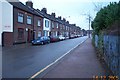
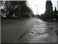
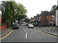
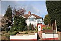
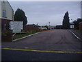
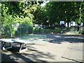
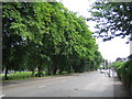
17 photos from this area
Area Information
Key information about the LU2 7SH including its size, population, and administrative classification.
- Area Type
- Postcode
- Area Size
- 2958 m²
- Population
- 1904
- Population Density
- 7650 people/km²
House Prices in LU2 7SH
11
Properties
£131,588
Average Sold Price
£48,500
Lowest Price
£220,000
Highest Price
Showing 11 properties
| Address | Type | Beds | Baths | Last Sale Price | Last Sale Date | |
|---|---|---|---|---|---|---|
| 8 Winch Street, Luton, LU2 7SH | Terraced | 3 | 2 | £220,000 | May 2021 | |
| 5 Winch Street, Luton, LU2 7SH | Terraced | 3 | 1 | £202,200 | Mar 2016 | |
| 7 Winch Street, Luton, LU2 7SH | Terraced | 3 | 2 | £117,000 | Nov 2013 | |
| 10 Winch Street, Luton, LU2 7SH | house | 2 | - | £139,000 | Dec 2009 | |
| 6 Winch Street, Luton, LU2 7SH | house | - | - | £123,000 | Jul 2004 | |
| 3 Winch Street, Luton, LU2 7SH | Terraced | 3 | 1 | £118,000 | Oct 2002 | |
| 1 Winch Street, Luton, LU2 7SH | Terraced | 3 | 1 | £85,000 | Mar 2002 | |
| 12 Winch Street, Luton, LU2 7SH | house | - | - | £48,500 | Jun 1999 | |
| 4 Winch Street, Luton, LU2 7SH | Terraced | - | - | - | - | |
| 9 Winch Street, Luton, LU2 7SH | Terraced | - | - | - | - |
Page 1 of 2
Energy Efficiency in LU2 7SH
Amenities
Schools
| Rank | School | Type | Entry gender | Ages |
|---|
Explore more schools in this area
Go to Schools tabDemographics
Household Size
Family (3-5 people)
most common
Accommodation Type
Houses
most common
Tenure
58
majority
Ethnic Group
White
most common
Religion
N/A
most common
Household Composition
N/A
most common
Age
47
median
Adults (30-64 years)
most common
Household Deprivation
N/A
with no deprivation
NS-SEC
27
in Lower managerial occupations
Explore more demographic insights in this area
Go to Demographics tabPlanning
Planning Constraints
- Flood RiskPremium
- Ramsar Wetland SitesPremium
- Area of Outstanding Natural BeautyPremium
- Protected Nature ReservePremium
- Protected WoodlandPremium