Area Overview for LU2 7RB
Photos of LU2 7RB
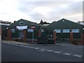
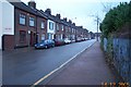
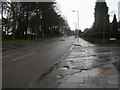
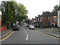
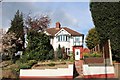
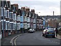
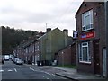
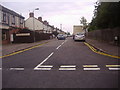
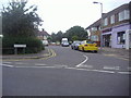
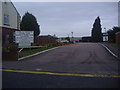
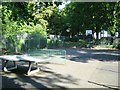
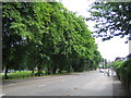
17 photos from this area
Area Information
Key information about the LU2 7RB including its size, population, and administrative classification.
- Area Type
- Postcode
- Area Size
- 1.1 hectares
- Population
- 1809
- Population Density
- 13705 people/km²
House Prices in LU2 7RB
56
Properties
£190,145
Average Sold Price
£44,000
Lowest Price
£375,000
Highest Price
Showing 56 properties
| Address | Type | Beds | Baths | Last Sale Price | Last Sale Date | |
|---|---|---|---|---|---|---|
| 99 Reginald Street, Luton, LU2 7RB | Semi-detached | 4 | 2 | £375,000 | Jun 2025 | |
| 84 Reginald Street, Luton, LU2 7RB | Terraced | 3 | 2 | £170,000 | Jan 2025 | |
| 76 Reginald Street, Luton, LU2 7RB | Terraced | 3 | 1 | £260,000 | Feb 2024 | |
| 109 Reginald Street, Luton, LU2 7RB | Semi-detached | 3 | 2 | £260,000 | Jan 2024 | |
| 86 Reginald Street, Luton, LU2 7RB | Terraced | 3 | 1 | £270,000 | Jun 2022 | |
| 112 Reginald Street, Luton, LU2 7RB | Terraced | 3 | 1 | £285,000 | Jan 2022 | |
| 89 Reginald Street, Luton, LU2 7RB | house | 1 | 1 | £285,000 | Dec 2021 | |
| 106 Reginald Street, Luton, LU2 7RB | Terraced | 3 | 3 | £282,000 | Mar 2021 | |
| 74 Reginald Street, Luton, LU2 7RB | Terraced | 1 | 1 | £257,000 | Feb 2021 | |
| 82 Reginald Street, Luton, LU2 7RB | Terraced | 3 | 1 | £222,500 | Dec 2017 |
Page 1 of 6
Energy Efficiency in LU2 7RB
Amenities
Schools
| Rank | School | Type | Entry gender | Ages |
|---|
Explore more schools in this area
Go to Schools tabDemographics
Household Size
Two person
most common
Accommodation Type
Flats
most common
Tenure
17
majority
Ethnic Group
White
most common
Religion
N/A
most common
Household Composition
N/A
most common
Age
47
median
Adults (30-64 years)
most common
Household Deprivation
N/A
with no deprivation
NS-SEC
17
in Lower managerial occupations
Explore more demographic insights in this area
Go to Demographics tabPlanning
Planning Constraints
- Flood RiskPremium
- Ramsar Wetland SitesPremium
- Area of Outstanding Natural BeautyPremium
- Protected Nature ReservePremium
- Protected WoodlandPremium