Area Overview for LU2 7NJ
Photos of LU2 7NJ

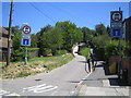
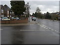
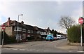
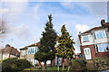
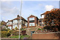
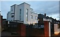
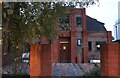

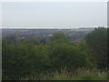
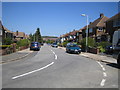
14 photos from this area
Area Information
Key information about the LU2 7NJ including its size, population, and administrative classification.
- Area Type
- Postcode
- Area Size
- 1.5 hectares
- Population
- 1917
- Population Density
- 5071 people/km²
House Prices in LU2 7NJ
27
Properties
£209,657
Average Sold Price
£54,000
Lowest Price
£425,000
Highest Price
Showing 27 properties
| Address | Type | Beds | Baths | Last Sale Price | Last Sale Date | |
|---|---|---|---|---|---|---|
| 158 Stockingstone Road, Luton, LU2 7NJ | Semi-detached | 3 | 1 | £332,000 | Jul 2025 | |
| 174 Stockingstone Road, Luton, LU2 7NJ | Semi-detached | 3 | 1 | £387,000 | Jul 2024 | |
| 186 Stockingstone Road, Luton, LU2 7NJ | house | - | - | £321,000 | Sep 2021 | |
| 176 Stockingstone Road, Luton, LU2 7NJ | Detached | 4 | 3 | £425,000 | Nov 2020 | |
| 178 Stockingstone Road, Luton, LU2 7NJ | Detached | 3 | 1 | £245,000 | May 2019 | |
| 168 Stockingstone Road, Luton, LU2 7NJ | Semi-detached | 3 | 1 | £330,000 | Nov 2018 | |
| 188 Stockingstone Road, Luton, LU2 7NJ | Semi-detached | 3 | 1 | £290,000 | Jul 2018 | |
| 154 Stockingstone Road, Luton, LU2 7NJ | house | - | - | £284,000 | Apr 2017 | |
| 156 Stockingstone Road, Luton, LU2 7NJ | Semi-detached | 4 | 2 | £180,000 | Oct 2015 | |
| 172 Stockingstone Road, Luton, LU2 7NJ | house | - | - | £200,000 | Aug 2014 |
Page 1 of 3
Energy Efficiency in LU2 7NJ
Amenities
Schools
| Rank | School | Type | Entry gender | Ages |
|---|
Explore more schools in this area
Go to Schools tabDemographics
Household Size
Family (3-5 people)
most common
Accommodation Type
Houses
most common
Tenure
62
majority
Ethnic Group
White
most common
Religion
N/A
most common
Household Composition
N/A
most common
Age
47
median
Adults (30-64 years)
most common
Household Deprivation
N/A
with no deprivation
NS-SEC
35
in Lower managerial occupations
Explore more demographic insights in this area
Go to Demographics tabPlanning
Planning Constraints
- Flood RiskPremium
- Ramsar Wetland SitesPremium
- Area of Outstanding Natural BeautyPremium
- Protected Nature ReservePremium
- Protected WoodlandPremium