Area Overview for LU2 0RY
Photos of LU2 0RY
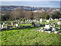
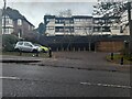
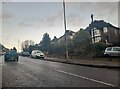
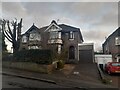
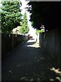
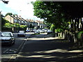
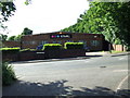

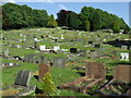
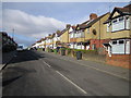
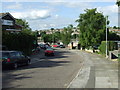
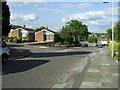
13 photos from this area
Area Information
Key information about the LU2 0RY including its size, population, and administrative classification.
- Area Type
- Postcode
- Area Size
- 1.1 hectares
- Population
- 1425
- Population Density
- 3283 people/km²
House Prices in LU2 0RY
44
Properties
£161,652
Average Sold Price
£16,400
Lowest Price
£285,000
Highest Price
Showing 44 properties
| Address | Type | Beds | Baths | Last Sale Price | Last Sale Date | |
|---|---|---|---|---|---|---|
| 260 Devon Road, Luton, LU2 0RY | Terraced | 3 | 1 | £285,000 | Feb 2023 | |
| 226 Devon Road, Luton, LU2 0RY | house | - | - | £249,000 | Jun 2022 | |
| 220 Devon Road, Luton, LU2 0RY | house | - | - | £270,000 | Dec 2021 | |
| 274 Devon Road, Luton, LU2 0RY | house | 3 | 1 | £237,500 | Jul 2021 | |
| 276 Devon Road, Luton, LU2 0RY | house | 3 | - | £231,000 | Aug 2020 | |
| 244 Devon Road, Luton, LU2 0RY | Terraced | 4 | 1 | £210,000 | Nov 2019 | |
| 242 Devon Road, Luton, LU2 0RY | Terraced | 3 | 1 | £222,500 | Apr 2019 | |
| 280 Devon Road, Luton, LU2 0RY | Terraced | 3 | 1 | £255,000 | Jan 2019 | |
| 228 Devon Road, Luton, LU2 0RY | Terraced | 3 | 1 | £223,844 | Jan 2017 | |
| 284 Devon Road, Luton, LU2 0RY | Terraced | 3 | 1 | £218,000 | May 2016 |
Page 1 of 5
Energy Efficiency in LU2 0RY
Amenities
Schools
| Rank | School | Type | Entry gender | Ages |
|---|
Explore more schools in this area
Go to Schools tabDemographics
Household Size
Family (3-5 people)
most common
Accommodation Type
Houses
most common
Tenure
65
majority
Ethnic Group
White
most common
Religion
N/A
most common
Household Composition
N/A
most common
Age
47
median
Adults (30-64 years)
most common
Household Deprivation
N/A
with no deprivation
NS-SEC
24
in Lower managerial occupations
Explore more demographic insights in this area
Go to Demographics tabPlanning
Planning Constraints
- Flood RiskPremium
- Ramsar Wetland SitesPremium
- Area of Outstanding Natural BeautyPremium
- Protected Nature ReservePremium
- Protected WoodlandPremium