Area Overview for LU2 0NG
Photos of LU2 0NG

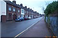
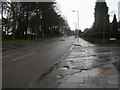
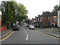
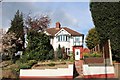
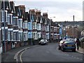
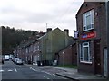
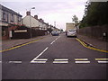
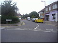
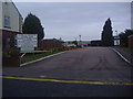
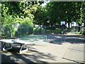
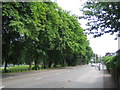
17 photos from this area
Area Information
Key information about the LU2 0NG including its size, population, and administrative classification.
- Area Type
- Postcode
- Area Size
- 6938 m²
- Population
- 1624
- Population Density
- 9667 people/km²
House Prices in LU2 0NG
25
Properties
£187,987
Average Sold Price
£88,300
Lowest Price
£248,000
Highest Price
Showing 25 properties
| Address | Type | Beds | Baths | Last Sale Price | Last Sale Date | |
|---|---|---|---|---|---|---|
| 110 Cobden Street, Luton, LU2 0NG | Terraced | 3 | 2 | £178,000 | Aug 2025 | |
| 100 Cobden Street, Luton, LU2 0NG | house | - | - | £248,000 | Aug 2022 | |
| 82 Cobden Street, Luton, LU2 0NG | house | - | - | £215,000 | Oct 2021 | |
| 96 Cobden Street, Luton, LU2 0NG | house | 2 | - | £215,000 | Aug 2021 | |
| 102 Cobden Street, Luton, LU2 0NG | Terraced | 2 | 1 | £178,000 | Mar 2021 | |
| 84 Cobden Street, Luton, LU2 0NG | Terraced | 2 | 1 | £245,000 | Nov 2020 | |
| 86 Cobden Street, Luton, LU2 0NG | house | - | - | £235,000 | Dec 2018 | |
| 90 Cobden Street, Luton, LU2 0NG | house | - | - | £232,500 | May 2018 | |
| 112 Cobden Street, Luton, LU2 0NG | house | - | - | £185,000 | Feb 2017 | |
| 88 Cobden Street, Luton, LU2 0NG | house | 3 | 1 | £232,000 | Jan 2017 |
Page 1 of 3
Energy Efficiency in LU2 0NG
Amenities
Schools
| Rank | School | Type | Entry gender | Ages |
|---|
Explore more schools in this area
Go to Schools tabDemographics
Household Size
One person
most common
Accommodation Type
Flats
most common
Tenure
10
majority
Ethnic Group
White
most common
Religion
N/A
most common
Household Composition
N/A
most common
Age
22
median
Adults (30-64 years)
most common
Household Deprivation
N/A
with no deprivation
NS-SEC
20
in Lower managerial occupations
Explore more demographic insights in this area
Go to Demographics tabPlanning
Planning Constraints
- Flood RiskPremium
- Ramsar Wetland SitesPremium
- Area of Outstanding Natural BeautyPremium
- Protected Nature ReservePremium
- Protected WoodlandPremium