Area Overview for LU1 5SP
Photos of LU1 5SP
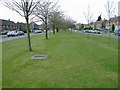
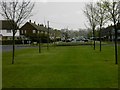
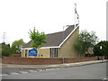


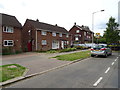
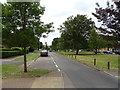
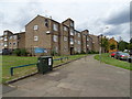
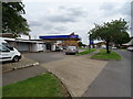


24 photos from this area
Area Information
Key information about the LU1 5SP including its size, population, and administrative classification.
- Area Type
- Postcode
- Area Size
- 8598 m²
- Population
- 2013
- Population Density
- 6205 people/km²
House Prices in LU1 5SP
16
Properties
£150,999
Average Sold Price
£48,500
Lowest Price
£250,000
Highest Price
Showing 16 properties
| Address | Type | Beds | Baths | Last Sale Price | Last Sale Date | |
|---|---|---|---|---|---|---|
| 8 Heath Close, Luton, LU1 5SP | Terraced | 2 | 1 | £190,000 | Nov 2019 | |
| 2 Heath Close, Luton, LU1 5SP | Semi-detached | 3 | 1 | £250,000 | Sep 2016 | |
| 3 Heath Close, Luton, LU1 5SP | Semi-detached | 3 | - | £220,000 | Aug 2014 | |
| 1 Heath Close, Luton, LU1 5SP | Semi-detached | 3 | 1 | £143,000 | Jun 2012 | |
| 4 Heath Close, Luton, LU1 5SP | house | - | - | £160,000 | Nov 2009 | |
| 7 Heath Close, Luton, LU1 5SP | house | - | - | £132,500 | Nov 2004 | |
| 5 Heath Close, Luton, LU1 5SP | house | - | - | £129,995 | Jul 2003 | |
| 15 Heath Close, Luton, LU1 5SP | Terraced | - | - | £84,995 | Aug 2000 | |
| 11 Heath Close, Luton, LU1 5SP | Terraced | - | - | £48,500 | Jan 1997 | |
| 13 Heath Close, Luton, LU1 5SP | Semi-detached | 3 | 1 | - | - |
Page 1 of 2
Energy Efficiency in LU1 5SP
Amenities
Schools
| Rank | School | Type | Entry gender | Ages |
|---|
Explore more schools in this area
Go to Schools tabDemographics
Household Size
Family (3-5 people)
most common
Accommodation Type
Houses
most common
Tenure
63
majority
Ethnic Group
White
most common
Religion
N/A
most common
Household Composition
N/A
most common
Age
47
median
Adults (30-64 years)
most common
Household Deprivation
N/A
with no deprivation
NS-SEC
21
in Lower managerial occupations
Explore more demographic insights in this area
Go to Demographics tabPlanning
Planning Constraints
- Flood RiskPremium
- Ramsar Wetland SitesPremium
- Area of Outstanding Natural BeautyPremium
- Protected Nature ReservePremium
- Protected WoodlandPremium