Area Overview for LU1 5AH
Photos of LU1 5AH
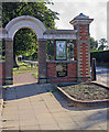
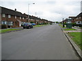
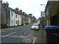
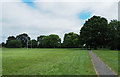
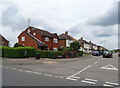
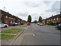
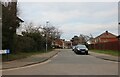
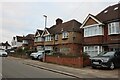
66 photos from this area
Area Information
Key information about the LU1 5AH including its size, population, and administrative classification.
- Area Type
- Postcode
- Area Size
- 8480 m²
- Population
- 1929
- Population Density
- 13051 people/km²
House Prices in LU1 5AH
82
Properties
£137,096
Average Sold Price
£23,250
Lowest Price
£245,000
Highest Price
Showing 82 properties
| Address | Type | Beds | Baths | Last Sale Price | Last Sale Date | |
|---|---|---|---|---|---|---|
| 141 Wellington Street, Luton, LU1 5AH | house | - | - | £240,000 | Mar 2024 | |
| 149 Wellington Street, Luton, LU1 5AH | Terraced | 3 | 1 | £144,000 | Sep 2021 | |
| 131A Wellington Street, Luton, LU1 5AH | Maisonette | 1 | 1 | £104,500 | Jan 2021 | |
| 125 Wellington Street, Luton, LU1 5AH | Terraced | 1 | 1 | £210,000 | Jul 2020 | |
| 196 Wellington Street, Luton, LU1 5AH | Maisonette | - | - | £59,000 | Feb 2020 | |
| 214 Wellington Street, Luton, LU1 5AH | house | - | - | £235,000 | Mar 2019 | |
| 151 Wellington Street, Luton, LU1 5AH | Terraced | 3 | 1 | £245,000 | Jan 2019 | |
| 147 Wellington Street, Luton, LU1 5AH | Terraced | 2 | 1 | £230,000 | Aug 2017 | |
| 186 Wellington Street, Luton, LU1 5AH | Flat | 1 | 1 | £155,000 | Aug 2016 | |
| 119 Wellington Street, Luton, LU1 5AH | Terraced | 3 | 1 | £185,000 | Jul 2016 |
Page 1 of 9
Energy Efficiency in LU1 5AH
Amenities
Schools
| Rank | School | Type | Entry gender | Ages |
|---|
Explore more schools in this area
Go to Schools tabDemographics
Household Size
Family (3-5 people)
most common
Accommodation Type
Houses
most common
Tenure
26
majority
Ethnic Group
White
most common
Religion
N/A
most common
Household Composition
N/A
most common
Age
47
median
Adults (30-64 years)
most common
Household Deprivation
N/A
with no deprivation
NS-SEC
14
in Lower managerial occupations
Explore more demographic insights in this area
Go to Demographics tabPlanning
Planning Constraints
- Flood RiskPremium
- Ramsar Wetland SitesPremium
- Area of Outstanding Natural BeautyPremium
- Protected Nature ReservePremium
- Protected WoodlandPremium