Area Overview for LU1 4EN
Photos of LU1 4EN
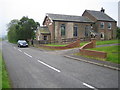
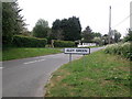
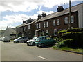
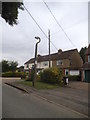
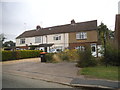
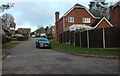
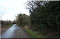
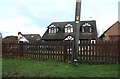
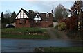
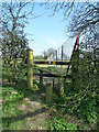
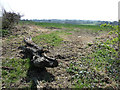
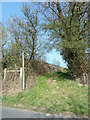
23 photos from this area
Area Information
Key information about the LU1 4EN including its size, population, and administrative classification.
- Area Type
- Postcode
- Area Size
- 8.3 hectares
- Population
- 1479
- Population Density
- 311 people/km²
House Prices in LU1 4EN
18
Properties
£439,745
Average Sold Price
£230,000
Lowest Price
£900,000
Highest Price
Showing 18 properties
| Address | Type | Beds | Baths | Last Sale Price | Last Sale Date | |
|---|---|---|---|---|---|---|
| 112A Mancroft Road, Caddington, LU1 4EN | house | - | - | £900,000 | Sep 2021 | |
| 116 Mancroft Road, Caddington, LU1 4EN | Detached | 4 | - | £715,000 | Mar 2021 | |
| 96 Mancroft Road, Caddington, LU1 4EN | Bungalow | - | - | £545,000 | Feb 2021 | |
| 110 Mancroft Road, Caddington, LU1 4EN | Bungalow | 3 | 2 | £500,000 | Aug 2019 | |
| 112 Mancroft Road, Caddington, LU1 4EN | Bungalow | 2 | 1 | £299,950 | Feb 2017 | |
| 94A Mancroft Road, Caddington, LU1 4EN | house | - | - | £322,500 | Jan 2017 | |
| 102 Mancroft Road, Caddington, LU1 4EN | Bungalow | - | - | £230,000 | Jul 2010 | |
| 114 Mancroft Road, Caddington, LU1 4EN | house | - | - | £375,000 | Feb 2007 | |
| 94 Mancroft Road, Caddington, LU1 4EN | Semi-detached | 2 | 1 | £275,000 | Feb 2007 | |
| 106 Mancroft Road, Caddington, LU1 4EN | Detached | - | - | £235,000 | Aug 2003 |
Page 1 of 2
Energy Efficiency in LU1 4EN
Amenities
Schools
| Rank | School | Type | Entry gender | Ages |
|---|
Explore more schools in this area
Go to Schools tabDemographics
Household Size
Two person
most common
Accommodation Type
Houses
most common
Tenure
88
majority
Ethnic Group
White
most common
Religion
N/A
most common
Household Composition
N/A
most common
Age
47
median
Adults (30-64 years)
most common
Household Deprivation
N/A
with no deprivation
NS-SEC
38
in Lower managerial occupations
Explore more demographic insights in this area
Go to Demographics tabPlanning
Planning Constraints
- Flood RiskPremium
- Ramsar Wetland SitesPremium
- Area of Outstanding Natural BeautyPremium
- Protected Nature ReservePremium
- Protected WoodlandPremium