Area Overview for LU1 3SS
Photos of LU1 3SS
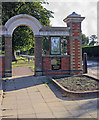
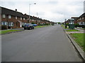
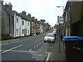
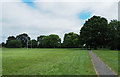
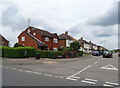
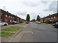
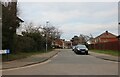
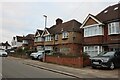
66 photos from this area
Area Information
Key information about the LU1 3SS including its size, population, and administrative classification.
- Area Type
- Postcode
- Area Size
- 9214 m²
- Population
- 1997
- Population Density
- 2506 people/km²
House Prices in LU1 3SS
100
Properties
£116,062
Average Sold Price
£15,500
Lowest Price
£345,000
Highest Price
Showing 100 properties
| Address | Type | Beds | Baths | Last Sale Price | Last Sale Date | |
|---|---|---|---|---|---|---|
| 33 Stockwood Crescent, Luton, LU1 3SS | Terraced | - | - | £295,000 | Oct 2023 | |
| 35 Stockwood Crescent, Luton, LU1 3SS | house | - | - | £345,000 | Dec 2021 | |
| 31 Stockwood Crescent, Luton, LU1 3SS | Terraced | 4 | 3 | £240,000 | Mar 2021 | |
| 39 Stockwood Crescent, Luton, LU1 3SS | Terraced | 7 | - | £177,500 | Mar 2019 | |
| 29 Stockwood Crescent, Luton, LU1 3SS | Terraced | 3 | 1 | £263,750 | Jul 2017 | |
| 41A Stockwood Crescent, Luton, LU1 3SS | house | - | - | £135,000 | May 2014 | |
| 1B, Maple Court, Stockwood Crescent, Luton, LU1 3SS | Flat | - | - | £42,000 | Jan 2014 | |
| 2B, Maple Court, Stockwood Crescent, Luton, LU1 3SS | Flat | - | - | £42,000 | Jan 2014 | |
| 22, Alpine Terrace, Stockwood Crescent, Luton, LU1 3SS | Flat | - | - | £77,500 | May 2007 | |
| 39A Stockwood Crescent, Luton, LU1 3SS | Maisonette | - | - | £185,000 | Apr 2007 |
Page 1 of 10
Energy Efficiency in LU1 3SS
Amenities
Schools
| Rank | School | Type | Entry gender | Ages |
|---|
Explore more schools in this area
Go to Schools tabDemographics
Household Size
One person
most common
Accommodation Type
Flats
most common
Tenure
36
majority
Ethnic Group
White
most common
Religion
N/A
most common
Household Composition
N/A
most common
Age
47
median
Adults (30-64 years)
most common
Household Deprivation
N/A
with no deprivation
NS-SEC
23
in Lower managerial occupations
Explore more demographic insights in this area
Go to Demographics tabPlanning
Planning Constraints
- Flood RiskPremium
- Ramsar Wetland SitesPremium
- Area of Outstanding Natural BeautyPremium
- Protected Nature ReservePremium
- Protected WoodlandPremium