Area Overview for LU1 3RR
Photos of LU1 3RR
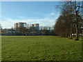
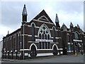
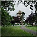
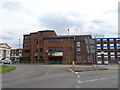
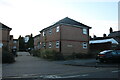

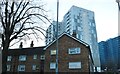
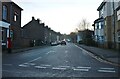
100 photos from this area
Area Information
Key information about the LU1 3RR including its size, population, and administrative classification.
- Area Type
- Postcode
- Area Size
- 8744 m²
- Population
- 1784
- Population Density
- 3663 people/km²
House Prices in LU1 3RR
48
Properties
£184,116
Average Sold Price
£54,000
Lowest Price
£460,000
Highest Price
Showing 48 properties
| Address | Type | Beds | Baths | Last Sale Price | Last Sale Date | |
|---|---|---|---|---|---|---|
| 100 Tennyson Road, Luton, LU1 3RR | Semi-detached | 6 | 2 | £330,000 | Feb 2025 | |
| 107 Tennyson Road, Luton, LU1 3RR | Terraced | 4 | - | £460,000 | Sep 2023 | |
| 90 Tennyson Road, Luton, LU1 3RR | Semi-detached | 3 | 2 | £355,000 | Jul 2023 | |
| 71 Tennyson Road, Luton, LU1 3RR | Terraced | 3 | - | £296,000 | Apr 2023 | |
| 100A Tennyson Road, Luton, LU1 3RR | Terraced | 2 | 1 | £260,000 | Feb 2023 | |
| 105 Tennyson Road, Luton, LU1 3RR | Terraced | 3 | 1 | £262,500 | Sep 2020 | |
| 65 Tennyson Road, Luton, LU1 3RR | Terraced | 3 | 1 | £246,000 | Dec 2018 | |
| 67 Tennyson Road, Luton, LU1 3RR | Flat | 2 | 1 | £242,500 | Jun 2017 | |
| 89 Tennyson Road, Luton, LU1 3RR | Detached | 4 | 2 | £320,000 | Jul 2016 | |
| 63 Tennyson Road, Luton, LU1 3RR | Terraced | 4 | 3 | £136,500 | May 2010 |
Page 1 of 5
Energy Efficiency in LU1 3RR
Amenities
Schools
| Rank | School | Type | Entry gender | Ages |
|---|
Explore more schools in this area
Go to Schools tabDemographics
Household Size
Family (3-5 people)
most common
Accommodation Type
Houses
most common
Tenure
56
majority
Ethnic Group
White
most common
Religion
N/A
most common
Household Composition
N/A
most common
Age
47
median
Adults (30-64 years)
most common
Household Deprivation
N/A
with no deprivation
NS-SEC
31
in Lower managerial occupations
Explore more demographic insights in this area
Go to Demographics tabPlanning
Planning Constraints
- Flood RiskPremium
- Ramsar Wetland SitesPremium
- Area of Outstanding Natural BeautyPremium
- Protected Nature ReservePremium
- Protected WoodlandPremium