Area Overview for LU1 3NZ
Photos of LU1 3NZ
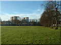
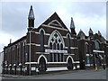
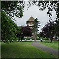
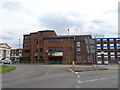
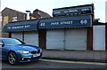
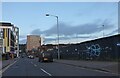
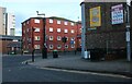
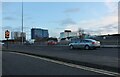
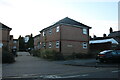
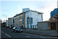
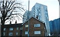
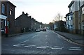
100 photos from this area
Area Information
Key information about the LU1 3NZ including its size, population, and administrative classification.
- Area Type
- Postcode
- Area Size
- 9864 m²
- Population
- 2351
- Population Density
- 5242 people/km²
House Prices in LU1 3NZ
60
Properties
£322,113
Average Sold Price
£29,500
Lowest Price
£6,835,000
Highest Price
Showing 60 properties
| Address | Type | Beds | Baths | Last Sale Price | Last Sale Date | |
|---|---|---|---|---|---|---|
| 56 Strathmore Avenue, Luton, LU1 3NZ | house | - | - | £270,000 | Aug 2025 | |
| 58 Strathmore Avenue, Luton, LU1 3NZ | Terraced | 2 | 1 | £6,835,000 | Oct 2024 | |
| 88A Strathmore Avenue, Luton, LU1 3NZ | Flat | 5 | 1 | £200,000 | Jun 2024 | |
| 72 Strathmore Avenue, Luton, LU1 3NZ | Terraced | 2 | 1 | £225,000 | Sep 2023 | |
| 60 Strathmore Avenue, Luton, LU1 3NZ | Terraced | 2 | - | £270,000 | Dec 2022 | |
| 28 Strathmore Avenue, Luton, LU1 3NZ | Terraced | 4 | 1 | £163,000 | Apr 2020 | |
| 78 Strathmore Avenue, Luton, LU1 3NZ | house | - | - | £180,000 | Oct 2019 | |
| 84 Strathmore Avenue, Luton, LU1 3NZ | house | - | - | £150,000 | Aug 2019 | |
| 26 Strathmore Avenue, Luton, LU1 3NZ | Terraced | 3 | 2 | £215,000 | Jul 2019 | |
| 50 Strathmore Avenue, Luton, LU1 3NZ | Terraced | - | - | £165,000 | Jun 2016 |
Page 1 of 6
Energy Efficiency in LU1 3NZ
Amenities
Schools
| Rank | School | Type | Entry gender | Ages |
|---|
Explore more schools in this area
Go to Schools tabDemographics
Household Size
One person
most common
Accommodation Type
Flats
most common
Tenure
9
majority
Ethnic Group
White
most common
Religion
N/A
most common
Household Composition
N/A
most common
Age
22
median
Young Adults (15-29 years)
most common
Household Deprivation
N/A
with no deprivation
NS-SEC
10
in Lower managerial occupations
Explore more demographic insights in this area
Go to Demographics tabPlanning
Planning Constraints
- Flood RiskPremium
- Ramsar Wetland SitesPremium
- Area of Outstanding Natural BeautyPremium
- Protected Nature ReservePremium
- Protected WoodlandPremium