Area Overview for Loughton Roding Ward
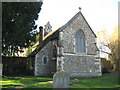
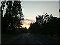
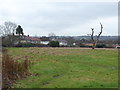
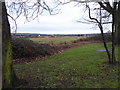
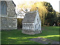
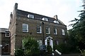
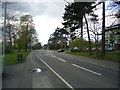
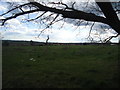
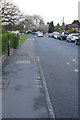
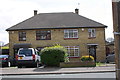
Photos of Loughton Roding Ward


Area Information
Living in Loughton Roding Ward means residing within a compact electoral ward of only 2.5 square kilometres. This district lies in the Borough of Epping Forest, situated approximately 13 miles north-east of Charing Cross. The location places residents close to Rectory Lane and the junction with Newmans Lane, with the Roding river valley to the east and Epping Forest to the west. The ward borders the M11 motorway at junction 5, providing a direct route between London and Cambridge. Despite its small size, the area forms part of the broader town of Loughton, offering accessible entry points to the wider region. You are positioned on the edge of Greater London, balancing proximity to the city with access to significant green spaces. The area functions as a residential hub within the Epping Forest District, benefiting from its strategic coordinates near 51.6 N latitude. Daily life here involves navigating a defined boundary that connects urban amenities with natural landscapes. The ward's identity is firmly tied to its status as a sub-unit of Loughton, ensuring residents remain connected to the town centre while enjoying the specific character of this particular electoral division.
- Area Type
- District Borough Unitary Ward
- Area Size
- 2.5 km²
- Population
- Not available
- Population Density
- Not available
Demographics
The community in Loughton Roding Ward is characterised by an older population profile. The median age stands at 70 years, indicating a resident base significantly older than the national average. While specific breakdowns for individual age ranges are not detailed beyond the total count, the demographic skew suggests a suburb dominated by retirees. Household composition and predominant ethnic groups are recorded but not specified in the available records, meaning you cannot infer exact diversity percentages from this dataset alone. Religion data is similarly absent from the provided figures. You should note that 60% of residents are homeowners, which typically creates a stable, long-term community environment. This ownership rate is substantially higher than many urban rental markets, suggesting fewer transient tenants. The lack of young families appears evident from the high median age, though this may appeal to those seeking a quiet retirement setting. The demographic picture paints a ward where the majority of inhabitants have settled their careers and remain in their homes, contributing to a distinctively mature social atmosphere within the ward.
Household Size
Accommodation Type
Tenure
Ethnic Group
Religion
Household Composition
Age
Household Deprivation
NS-SEC
Explore more demographic insights in this area
Go to Demographics tabPlanning
Planning Constraints
- Flood RiskPremium
- Ramsar Wetland SitesPremium
- Area of Outstanding Natural BeautyPremium
- Protected Nature ReservePremium
- Protected WoodlandPremium
- Crime RiskPremium