Area Overview for Knettishall
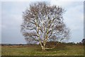
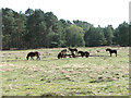
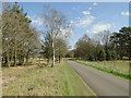
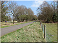
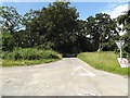
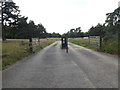
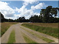
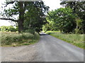
Photos of Knettishall
Area Information
Knettishall is a small civil parish covering 4.3 km² in England. It offers a defined and manageable scale for residents who dislike sprawling urban centres. The area functions as a quiet residential settlement where daily life centres on local amenities rather than long commutes to distant cities. Living in Knettishall means embracing a lifestyle characterised by proximity to home and a straightforward neighbourhood layout. Prospective buyers will find a space that prioritises stability and community connection over high-energy urban convenience. The compact size ensures that most essentials are relatively close, reducing the need for extensive travel for routine tasks. This parish maintains a distinct identity separate from larger towns, providing a setting where the pace of life remains slower. You will appreciate the clear boundaries of the area, which foster a sense of familiarity among neighbours throughout the parish. The environment supports those seeking a settled existence without the distractions of a bustling metropolitan hub.
- Area Type
- Parish
- Area Size
- 4.3 km²
- Population
- Not available
- Population Density
- Not available
Demographics
The community in Knettishall displays a clear demographic focus on older residents. The median age of 70 defines the population profile, indicating that the majority of inhabitants are retired or elderly. This age profile shapes the local culture and the types of services required within the parish. Home ownership stands at 72 per cent, revealing a population with significant financial stability and long-term roots in the area. Such high ownership rates suggest that the homes in Knettishall are typically passed down or purchased for permanent residence rather than speculative investment. The household composition statistics support the view of a settled community with deep local ties. There is no indication of recent migration or transient populations disrupting the social fabric. The ageing demographic creates a stable environment where established traditions persist. You should understand that the local rhythm of life matches the needs and preferences of this mature population structure.
Household Size
Accommodation Type
Tenure
Ethnic Group
Religion
Household Composition
Age
Household Deprivation
NS-SEC
Explore more demographic insights in this area
Go to Demographics tabPlanning
Planning Constraints
- Flood RiskPremium
- Ramsar Wetland SitesPremium
- Area of Outstanding Natural BeautyPremium
- Protected Nature ReservePremium
- Protected WoodlandPremium
- Crime RiskPremium