Area Overview for Kirstead
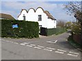
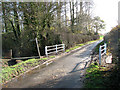
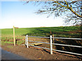
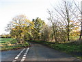
Photos of Kirstead
Area Information
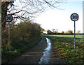
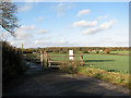
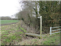
Kirstead is a small civil parish covering an area of 4.2 square kilometres. It represents a compact settlement where residents enjoy a distinct sense of locality within the wider English countryside. Living in Kirstead means embracing a quiet environment where the social rhythm is paced by the specific needs of its community rather than the energy of a major town. The parish maintains a clear identity, offering a residential experience defined by its manageable size and established character. You will find that daily life here revolves around immediate neighbourhood interactions rather than the anonymity of larger urban centres. This area provides a stable setting where the layout of the land supports a traditional way of living. Your move to Kirstead places you in a space that balances isolation with a defined homebase. The local community is well aware of the boundaries of the parish and the resources available to its inhabitants. You can navigate this 4.2 km² territory easily, knowing exactly where the assets and amenities are located. There is no mystery about the geography of your new home. The parish stands as a contained world where the residents know one another, creating a predictable environment for those seeking stability. Expect your days to unfold within a setting that values permanence over rapid change. This is a place where the scale of the area dictates the pace of life.
- Area Type
- Parish
- Area Size
- 4.2 km²
- Population
- Not available
- Population Density
- Not available
Demographics
The community within Kirstead has a notable age profile that stands out against national trends. The median age for residents is 70, indicating a population dominated by older individuals. You are likely to find that the streets are filled with retirees rather than families with young children. This demographic shift shapes the social fabric of the parish, influencing local services and community activities. The most common age range reflects a cohort that has spent decades building lives in the area. Home ownership stands at a high level of 84%, meaning the vast majority of households have fully paid for their properties. This figure suggests a long-term commitment to the locality among the current residents. The low prevalence of rental housing reinforces the idea that people move in to stay permanently. You will encounter a neighbourhood where assets are held securely rather than traded frequently. This high rate of ownership often correlates with a reduced demand for rental schemes and a stronger reliance on local infrastructure. The demographic makeup implies a quiet atmosphere where the primary shopping needs are adapted to an older population. When you consider homes in Kirstead, you are entering a market dominated by settled homeowners. The community functions as a stable group of people who have made this their primary residence for a significant duration.
Household Size
Accommodation Type
Tenure
Ethnic Group
Religion
Household Composition
Age
Household Deprivation
NS-SEC
Explore more demographic insights in this area
Go to Demographics tabPlanning
Planning Constraints
- Flood RiskPremium
- Ramsar Wetland SitesPremium
- Area of Outstanding Natural BeautyPremium
- Protected Nature ReservePremium
- Protected WoodlandPremium
- Crime RiskPremium