Area Overview for Ipswich
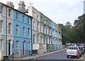
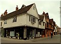
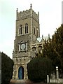
Photos of Ipswich
Area Information
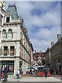
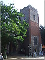
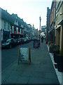
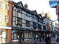
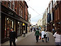
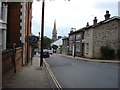
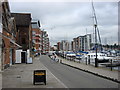
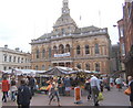
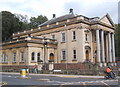
Ipswich sits as the second-tier non-metropolitan district of Suffolk, functioning as the county town within a structured local government system. The borough covers 38.6 square kilometres and supports a population of 84,585 residents across its five geographical areas: Central, North East, North West, South East, and South West. Living in Ipswich means engaging with an area that has maintained its borough status since 1974, though recent bids for unitary authority conversion have not been realised. The spatial concentration results in a population density of 2,189 people per square kilometre, indicating a built-up urban environment rather than a rural settlement. Residents navigate a landscape shaped by both a traditional mayoral governance history and modern economic designations like Enterprise Zones in Futura Park and Princes Street. Daily life here revolves around a tight-knit administrative boundary that adjoins Babergh, Mid Suffolk, and Suffolk Coastal districts. For those considering homes in Ipswich, understanding this layered administrative history provides context for local service delivery and future planning strategies. The area remains a distinct entity within the wider county framework, balancing local autonomy with regional cooperation.
- Area Type
- District/Borough
- Area Size
- 38.6 km²
- Population
- 84585
- Population Density
- 2189 people/km²
Demographics
The community profile of Ipswich reveals specific demographic trends that define the neighbourhood character. The average age of a resident is 70 years old, reflecting a significantly older population compared to the national average. Median age data confirms that the age of 70 represents the midpoint of the population distribution, suggesting a retirement-oriented or mature demographic. Sixty per cent of households in Ipswich own their homes, a proportion that places the area firmly within the owner-occupied sector rather than a rental market. This high home ownership rate of 60% indicates stability and long-term local investment among residents. The demographic snapshot does not break down household composition or predominant ethnicity into specific figures, but the community size and density suggest a established urban population. For families looking at schools near Ipswich, the age profile may influence educational catchment dynamics, though the high proportion of older residents often correlates with specific downsizing or family growth patterns within the built-up area. Understanding these figures helps buyers recognise the sociological make-up of the 84,585 people calling this district home.
Household Size
Accommodation Type
Tenure
Ethnic Group
Religion
Household Composition
Age
Household Deprivation
NS-SEC
Explore more demographic insights in this area
Go to Demographics tabPlanning
Planning Constraints
- Crime RiskPremium