Area Overview for IP8 4NF
Photos of IP8 4NF
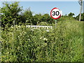
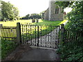
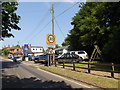
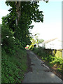
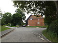
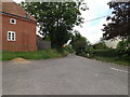
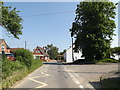
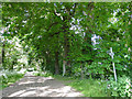
24 photos from this area
Area Information
Key information about the IP8 4NF including its size, population, and administrative classification.
- Area Type
- Postcode
- Area Size
- 1.3 km²
- Population
- 1726
- Population Density
- 103 people/km²
House Prices in IP8 4NF
10
Properties
£840,000
Average Sold Price
£405,000
Lowest Price
£1,275,000
Highest Price
Showing 10 properties
| Address | Type | Beds | Baths | Last Sale Price | Last Sale Date | |
|---|---|---|---|---|---|---|
| The Elms, Somersham Road, Little Blakenham, IP8 4NF | house | - | - | £1,275,000 | May 2014 | |
| Rose Cottage, Somersham Road, Little Blakenham, IP8 4NF | Detached | - | - | £405,000 | Sep 2012 | |
| Elm Farm, Somersham Road, Little Blakenham, IP8 4NF | Detached | 5 | 3 | - | - | |
| Barn Poonsook, Somersham Road, Little Blakenham, IP8 4NF | Bungalow | - | - | - | - | |
| Sorrel Barn, Somersham Road, Little Blakenham, IP8 4NF | house | - | - | - | - | |
| Horsenden House, Somersham Road, Little Blakenham, IP8 4NF | house | - | - | - | - | |
| Greenhill View, Somersham Road, Little Blakenham, IP8 4NF | Detached | - | - | - | - | |
| Brook View, Somersham Road, Little Blakenham, IP8 4NF | house | - | - | - | - | |
| Healthwatch Suffolk, Office At, Barn Poonsook, Somersham Road, Little Blakenham, IP8 4NF | office_workshop | - | - | - | - | |
| Walnut Tree Cottage, Somersham Road, Little Blakenham, IP8 4NF | house | - | - | - | - |
Energy Efficiency in IP8 4NF
Amenities
Schools
| Rank | School | Type | Entry gender | Ages |
|---|
Explore more schools in this area
Go to Schools tabDemographics
Household Size
Two person
most common
Accommodation Type
Houses
most common
Tenure
83
majority
Ethnic Group
White
most common
Religion
N/A
most common
Household Composition
N/A
most common
Age
47
median
Adults (30-64 years)
most common
Household Deprivation
N/A
with no deprivation
NS-SEC
36
in Lower managerial occupations
Explore more demographic insights in this area
Go to Demographics tabPlanning
Planning Constraints
- Flood RiskPremium
- Ramsar Wetland SitesPremium
- Area of Outstanding Natural BeautyPremium
- Protected Nature ReservePremium
- Protected WoodlandPremium