Area Overview for IP7 5HU
Photos of IP7 5HU
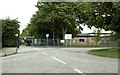
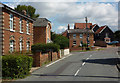
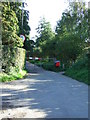
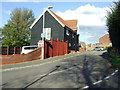
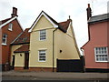
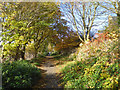
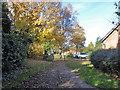
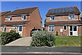
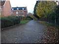
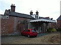
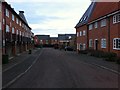
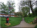
20 photos from this area
Area Information
Key information about the IP7 5HU including its size, population, and administrative classification.
- Area Type
- Postcode
- Area Size
- 4.0 hectares
- Population
- 1176
- Population Density
- 188 people/km²
House Prices in IP7 5HU
32
Properties
£262,159
Average Sold Price
£65,000
Lowest Price
£407,500
Highest Price
Showing 32 properties
| Address | Type | Beds | Baths | Last Sale Price | Last Sale Date | |
|---|---|---|---|---|---|---|
| 31 Highlands Road, Hadleigh, IP7 5HU | Bungalow | 3 | 2 | £367,500 | Dec 2024 | |
| 29 Highlands Road, Hadleigh, IP7 5HU | Bungalow | - | - | £407,500 | Nov 2024 | |
| Ridgeway, 1 Highlands Road, Hadleigh, IP7 5HU | Bungalow | 4 | 2 | £385,000 | Jan 2023 | |
| 20 Highlands Road, Hadleigh, IP7 5HU | Bungalow | 3 | 1 | £380,000 | Feb 2021 | |
| 8 Highlands Road, Hadleigh, IP7 5HU | Bungalow | - | - | £351,000 | Feb 2021 | |
| 3 Highlands Road, Hadleigh, IP7 5HU | Bungalow | 4 | 1 | £340,000 | Dec 2020 | |
| 17 Highlands Road, Hadleigh, IP7 5HU | Bungalow | 3 | 1 | £305,000 | Feb 2020 | |
| 7 Highlands Road, Hadleigh, IP7 5HU | Bungalow | 2 | 1 | £275,000 | Feb 2019 | |
| 23 Highlands Road, Hadleigh, IP7 5HU | Bungalow | 3 | 1 | £310,000 | Mar 2018 | |
| 27 Highlands Road, Hadleigh, IP7 5HU | Semi-detached | 3 | - | £256,000 | Nov 2016 |
Page 1 of 4
Energy Efficiency in IP7 5HU
Amenities
Schools
| Rank | School | Type | Entry gender | Ages |
|---|
Explore more schools in this area
Go to Schools tabDemographics
Household Size
Two person
most common
Accommodation Type
Houses
most common
Tenure
90
majority
Ethnic Group
White
most common
Religion
N/A
most common
Household Composition
N/A
most common
Age
47
median
Adults (30-64 years)
most common
Household Deprivation
N/A
with no deprivation
NS-SEC
37
in Lower managerial occupations
Explore more demographic insights in this area
Go to Demographics tabPlanning
Planning Constraints
- Flood RiskPremium
- Ramsar Wetland SitesPremium
- Area of Outstanding Natural BeautyPremium
- Protected Nature ReservePremium
- Protected WoodlandPremium