Area Overview for IP6 0AE
Photos of IP6 0AE

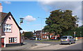
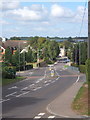
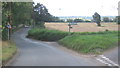
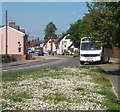
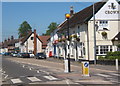
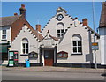
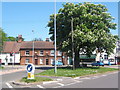
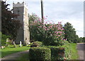
99 photos from this area
Area Information
Key information about the IP6 0AE including its size, population, and administrative classification.
- Area Type
- Postcode
- Area Size
- 10.9 hectares
- Population
- 1724
- Population Density
- 184 people/km²
House Prices in IP6 0AE
17
Properties
£300,000
Average Sold Price
£165,000
Lowest Price
£490,000
Highest Price
Showing 17 properties
| Address | Type | Beds | Baths | Last Sale Price | Last Sale Date | |
|---|---|---|---|---|---|---|
| Hunston, Old Ipswich Road, Claydon, IP6 0AE | Detached | 4 | 2 | £490,000 | Jun 2021 | |
| Robins Nest, Old Ipswich Road, Claydon, IP6 0AE | Bungalow | - | - | £365,000 | Dec 2011 | |
| The Gables, Old Ipswich Road, Claydon, IP6 0AE | Detached | - | - | £180,000 | Sep 2001 | |
| Treetops, Old Ipswich Road, Claydon, IP6 0AE | Bungalow | - | - | £165,000 | Dec 1995 | |
| 3, Yukon, Old Ipswich Road, Claydon, IP6 0AE | Bungalow | 7 | 3 | - | - | |
| Caravan At, The Gables, Old Ipswich Road, Claydon, IP6 0AE | Mobile Home | - | - | - | - | |
| Annexe, The Gables, Old Ipswich Road, Claydon, IP6 0AE | Flat | - | - | - | - | |
| Kingsfleet Wealth Ltd, Office A1, Claydon Court, Ipswich Road, Claydon, IP6 0AE | Office | - | - | - | - | |
| Strident Ltd, Office D1, Claydon Court, Ipswich Road, Claydon, IP6 0AE | Office | - | - | - | - | |
| 4A Property Limited, Office A, Claydon Court, Old Ipswich Road, Claydon, IP6 0AE | Office | - | - | - | - |
Page 1 of 2
Energy Efficiency in IP6 0AE
Amenities
Schools
| Rank | School | Type | Entry gender | Ages |
|---|
Explore more schools in this area
Go to Schools tabDemographics
Household Size
Two person
most common
Accommodation Type
Houses
most common
Tenure
84
majority
Ethnic Group
White
most common
Religion
N/A
most common
Household Composition
N/A
most common
Age
47
median
Adults (30-64 years)
most common
Household Deprivation
N/A
with no deprivation
NS-SEC
33
in Lower managerial occupations
Explore more demographic insights in this area
Go to Demographics tabPlanning
Planning Constraints
- Flood RiskPremium
- Ramsar Wetland SitesPremium
- Area of Outstanding Natural BeautyPremium
- Protected Nature ReservePremium
- Protected WoodlandPremium