Area Overview for IP5 2YB
Photos of IP5 2YB
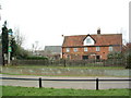
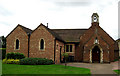
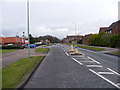
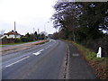
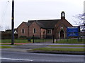
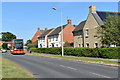
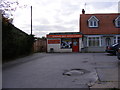
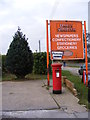
46 photos from this area
Area Information
Key information about the IP5 2YB including its size, population, and administrative classification.
- Area Type
- Postcode
- Area Size
- 2778 m²
- Population
- 1380
- Population Density
- 2030 people/km²
House Prices in IP5 2YB
11
Properties
£105,319
Average Sold Price
£49,000
Lowest Price
£240,000
Highest Price
Showing 11 properties
| Address | Type | Beds | Baths | Last Sale Price | Last Sale Date | |
|---|---|---|---|---|---|---|
| 15 Marshall Close, Kesgrave, IP5 2YB | Terraced | 2 | 1 | £240,000 | Dec 2024 | |
| 2 Marshall Close, Kesgrave, IP5 2YB | Semi-detached | 2 | 1 | £190,000 | Jul 2016 | |
| 5 Marshall Close, Kesgrave, IP5 2YB | house | - | - | £143,000 | Jun 2012 | |
| 11 Marshall Close, Kesgrave, IP5 2YB | Terraced | - | - | £86,249 | Aug 2007 | |
| 1 Marshall Close, Kesgrave, IP5 2YB | house | - | - | £84,950 | Jul 2002 | |
| 9 Marshall Close, Kesgrave, IP5 2YB | Terraced | 2 | 1 | £89,995 | Apr 2002 | |
| 3 Marshall Close, Kesgrave, IP5 2YB | Terraced | 2 | 1 | £60,000 | Mar 2000 | |
| 6 Marshall Close, Kesgrave, IP5 2YB | house | - | - | £56,000 | Nov 1998 | |
| 8 Marshall Close, Kesgrave, IP5 2YB | house | - | - | £54,000 | Oct 1998 | |
| 4 Marshall Close, Kesgrave, IP5 2YB | Terraced | 2 | 1 | £49,000 | Dec 1996 |
Page 1 of 2
Energy Efficiency in IP5 2YB
Amenities
Schools
| Rank | School | Type | Entry gender | Ages |
|---|
Explore more schools in this area
Go to Schools tabDemographics
Household Size
Family (3-5 people)
most common
Accommodation Type
Houses
most common
Tenure
84
majority
Ethnic Group
White
most common
Religion
N/A
most common
Household Composition
N/A
most common
Age
47
median
Adults (30-64 years)
most common
Household Deprivation
N/A
with no deprivation
NS-SEC
40
in Lower managerial occupations
Explore more demographic insights in this area
Go to Demographics tabPlanning
Planning Constraints
- Flood RiskPremium
- Ramsar Wetland SitesPremium
- Area of Outstanding Natural BeautyPremium
- Protected Nature ReservePremium
- Protected WoodlandPremium