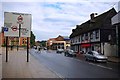
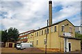
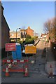
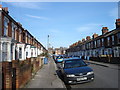
Area Overview for IP4 1LT
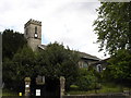
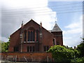
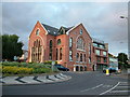
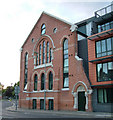
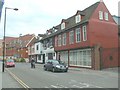
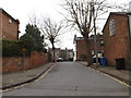
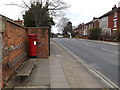
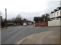
Photos of IP4 1LT
Area Information
Living in IP4 1LT means inhabiting a tightly packed residential cluster in England, where 1,672 people reside across just 4.3 hectares. This density creates a compact, closely knit community, though the area’s small size means proximity to amenities is key. The postcode is served by multiple retail outlets, including Sainsburys Ipswich and Tesco Duke, and rail access is plentiful, with Derby Road Railway Station and others within reach. Daily life here is shaped by practicality — the area’s proximity to shops, transport, and schools makes it convenient for families and commuters. However, the high population density and limited space suggest a focus on efficiency rather than sprawling development. With a median age of 47, the community leans towards adults in their 30s to 60s, many of whom may be drawn to the area’s accessibility and established infrastructure. While the data does not indicate a strong cultural or historical identity, the presence of multiple schools and rail links suggests it is a functional, service-oriented postcode.
- Area Type
- Postcode
- Area Size
- 4.3 hectares
- Population
- 1672
- Population Density
- 4210 people/km²
IP4 1LT is not a high home-ownership area, with only 19% of residents owning their properties. This suggests that the housing market is largely rental-driven, with flats being the predominant accommodation type. The small area size and high population density mean that property availability is limited, and the market is likely competitive for buyers seeking owner-occupied homes. Flats dominate the stock, which may appeal to those prioritising convenience over space, particularly given the area’s proximity to transport and retail. However, the low home-ownership rate indicates that many residents are tenants, which could affect the stability of the market for buyers. Those considering the area should note that property choices are constrained by the postcode’s physical size and the lack of larger housing types.
House Prices in IP4 1LT
Showing 1 properties
| Address | Type | Beds | Baths | Last Sale Price | Last Sale Date | |
|---|---|---|---|---|---|---|
| Quayside Childrens Centre, Long Street, Ipswich, IP4 1LT | commercial | - | - | - | - |
Energy Efficiency in IP4 1LT
Residents of IP4 1LT have access to a range of practical amenities within walking or short driving distance. The retail sector includes five notable venues, such as Sainsburys Ipswich, Tesco Duke, and the East of England Co-operative Co, providing everyday shopping needs. Rail stations like Derby Road Railway Station and others are conveniently located, facilitating travel to nearby areas. While the data does not mention parks or leisure facilities, the presence of multiple retail and transport options suggests a focus on convenience over expansive recreational spaces. The compact nature of the area means that daily errands and commutes are efficient, though those seeking larger green spaces or cultural attractions may need to look beyond the immediate postcode. The mix of shops and transport links contributes to a functional, if modest, lifestyle.
Amenities
Schools
Residents of IP4 1LT have access to St Helen’s Primary School, a primary school that serves younger children, and Suffolk New College, a sixth-form institution for older students. A second entry for St Helen’s Primary School suggests it may be the primary educational hub for the area. The presence of both primary and post-16 education options indicates that families with children of varying ages can find suitable schooling nearby. However, the absence of secondary schools or additional educational facilities means that students may need to travel to adjacent areas for more comprehensive education. The mix of school types reflects a focus on early education and further learning, but the lack of detailed Ofsted ratings or performance data means it is unclear how these institutions compare to others in the region.
| Rank | School | Type | Entry gender | Ages |
|---|
Explore more schools in this area
Go to Schools tabDemographics
The population of IP4 1LT is predominantly adults aged 30–64, with a median age of 47. This suggests a community of working-age individuals, many of whom may be employed in nearby towns or cities. Home ownership is low, at just 19%, indicating that most residents rent their accommodation. The primary housing type is flats, which aligns with the area’s compact size and high density. The predominant ethnic group is White, though no specific data on diversity or deprivation is provided. The absence of detailed socioeconomic metrics means it is difficult to assess whether the area faces particular challenges related to income or access to services. However, the prevalence of rental properties and flats may suggest a transient or economically mixed population, with limited long-term investment in private homeownership.
Household Size
Accommodation Type
Tenure
Ethnic Group
Religion
Household Composition
Age
Household Deprivation
NS-SEC
Explore more demographic insights in this area
Go to Demographics tabPlanning
Planning Constraints
- Flood RiskPremium
- Ramsar Wetland SitesPremium
- Area of Outstanding Natural BeautyPremium
- Protected Nature ReservePremium
- Protected WoodlandPremium