Area Overview for IP33 3RR
Photos of IP33 3RR

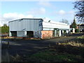
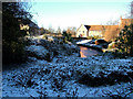
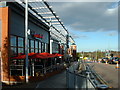
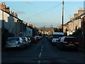
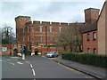
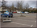
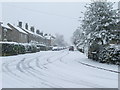
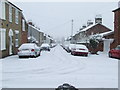
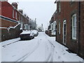
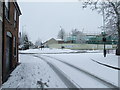
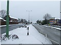
100 photos from this area
Area Information
Key information about the IP33 3RR including its size, population, and administrative classification.
- Area Type
- Postcode
- Area Size
- 2.5 hectares
- Population
- 1653
- Population Density
- 5099 people/km²
House Prices in IP33 3RR
19
Properties
£308,035
Average Sold Price
£59,950
Lowest Price
£545,000
Highest Price
Showing 19 properties
| Address | Type | Beds | Baths | Last Sale Price | Last Sale Date | |
|---|---|---|---|---|---|---|
| 36 Westley Road, Bury St Edmunds, IP33 3RR | Chalet | 4 | 1 | £492,500 | Oct 2025 | |
| 52 Westley Road, Bury St Edmunds, IP33 3RR | Semi-detached | 3 | - | £295,000 | Jun 2021 | |
| 49 Westley Road, Bury St Edmunds, IP33 3RR | Bungalow | - | - | £545,000 | Oct 2020 | |
| 32 Westley Road, Bury St Edmunds, IP33 3RR | Bungalow | 1 | 1 | £430,000 | Apr 2017 | |
| 34 Westley Road, Bury St Edmunds, IP33 3RR | Bungalow | - | - | £440,000 | Apr 2015 | |
| 43 Westley Road, Bury St Edmunds, IP33 3RR | Bungalow | - | - | £287,500 | Dec 2014 | |
| 44 Westley Road, Bury St Edmunds, IP33 3RR | Bungalow | 4 | - | £338,500 | Nov 2014 | |
| 42 Westley Road, Bury St Edmunds, IP33 3RR | Bungalow | 4 | - | £345,000 | Dec 2012 | |
| 40 Westley Road, Bury St Edmunds, IP33 3RR | Bungalow | - | - | £225,000 | Nov 2010 | |
| 51 Westley Road, Bury St Edmunds, IP33 3RR | Bungalow | - | - | £250,000 | Aug 2009 |
Page 1 of 2
Energy Efficiency in IP33 3RR
Amenities
Schools
| Rank | School | Type | Entry gender | Ages |
|---|
Explore more schools in this area
Go to Schools tabDemographics
Household Size
One person
most common
Accommodation Type
Houses
most common
Tenure
45
majority
Ethnic Group
White
most common
Religion
N/A
most common
Household Composition
N/A
most common
Age
47
median
Adults (30-64 years)
most common
Household Deprivation
N/A
with no deprivation
NS-SEC
30
in Lower managerial occupations
Explore more demographic insights in this area
Go to Demographics tabPlanning
Planning Constraints
- Flood RiskPremium
- Ramsar Wetland SitesPremium
- Area of Outstanding Natural BeautyPremium
- Protected Nature ReservePremium
- Protected WoodlandPremium