Area Overview for IP33 2EE
Photos of IP33 2EE
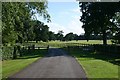
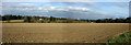
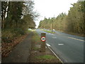
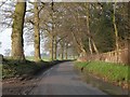
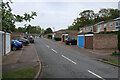
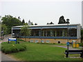

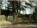
13 photos from this area
Area Information
Key information about the IP33 2EE including its size, population, and administrative classification.
- Area Type
- Postcode
- Area Size
- 11.8 hectares
- Population
- 1451
- Population Density
- 3122 people/km²
House Prices in IP33 2EE
7
Properties
£329,250
Average Sold Price
£60,000
Lowest Price
£620,000
Highest Price
Showing 7 properties
| Address | Type | Beds | Baths | Last Sale Price | Last Sale Date | |
|---|---|---|---|---|---|---|
| 124 Horringer Road, Bury St Edmunds, IP33 2EE | Bungalow | - | - | £620,000 | Aug 2020 | |
| 122 Horringer Road, Bury St Edmunds, IP33 2EE | Bungalow | - | - | £312,000 | Aug 2010 | |
| The Granary, Horringer Road, Bury St Edmunds, IP33 2EE | house | - | - | £60,000 | Apr 1998 | |
| West Mill, Horringer Road, Bury St Edmunds, IP33 2EE | Detached | 6 | 2 | £325,000 | Nov 1997 | |
| 120 Horringer Road, Bury St Edmunds, IP33 2EE | Bungalow | - | - | - | - | |
| Tennis 67M From Horringer Hill House, Horringer Road 36M From Unnamed Road, Horringer Road, Bury St Edmunds, IP33 2EE | Leisure | - | - | - | - | |
| Horringer Hill House, Horringer Road, Bury St Edmunds, IP33 2EE | house | - | - | - | - |
Energy Efficiency in IP33 2EE
Amenities
Schools
| Rank | School | Type | Entry gender | Ages |
|---|
Explore more schools in this area
Go to Schools tabDemographics
Household Size
Two person
most common
Accommodation Type
Houses
most common
Tenure
86
majority
Ethnic Group
White
most common
Religion
N/A
most common
Household Composition
N/A
most common
Age
47
median
Adults (30-64 years)
most common
Household Deprivation
N/A
with no deprivation
NS-SEC
35
in Lower managerial occupations
Explore more demographic insights in this area
Go to Demographics tabPlanning
Planning Constraints
- Flood RiskPremium
- Ramsar Wetland SitesPremium
- Area of Outstanding Natural BeautyPremium
- Protected Nature ReservePremium
- Protected WoodlandPremium