Area Overview for IP33 2DU
Photos of IP33 2DU
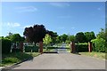
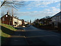
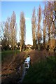

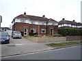
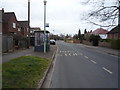
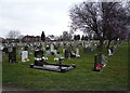
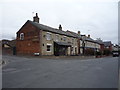
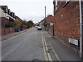
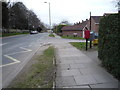
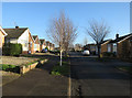
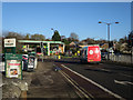
59 photos from this area
Area Information
Key information about the IP33 2DU including its size, population, and administrative classification.
- Area Type
- Postcode
- Area Size
- 1.2 hectares
- Population
- 1467
- Population Density
- 2741 people/km²
House Prices in IP33 2DU
17
Properties
£368,808
Average Sold Price
£135,000
Lowest Price
£570,000
Highest Price
Showing 17 properties
| Address | Type | Beds | Baths | Last Sale Price | Last Sale Date | |
|---|---|---|---|---|---|---|
| 4B Horsecroft Road, Bury St Edmunds, IP33 2DU | Bungalow | 3 | 2 | £470,000 | Feb 2025 | |
| 6A Horsecroft Road, Bury St Edmunds, IP33 2DU | house | - | - | £570,000 | Aug 2022 | |
| 12 Horsecroft Road, Bury St Edmunds, IP33 2DU | Bungalow | - | - | £462,500 | Jul 2022 | |
| 6 Horsecroft Road, Bury St Edmunds, IP33 2DU | Bungalow | 2 | 1 | £440,000 | Oct 2020 | |
| 20 Horsecroft Road, Bury St Edmunds, IP33 2DU | Semi-detached | - | - | £440,000 | Nov 2017 | |
| 8 Horsecroft Road, Bury St Edmunds, IP33 2DU | Detached | 4 | - | £317,000 | Jun 2014 | |
| 2 Horsecroft Road, Bury St Edmunds, IP33 2DU | Bungalow | 2 | 1 | £225,000 | May 2014 | |
| 14 Horsecroft Road, Bury St Edmunds, IP33 2DU | Detached | 4 | 2 | £500,000 | Nov 2013 | |
| 4A Horsecroft Road, Bury St Edmunds, IP33 2DU | house | - | - | £250,000 | Mar 2013 | |
| 18 Horsecroft Road, Bury St Edmunds, IP33 2DU | house | - | - | £325,000 | Jan 2010 |
Page 1 of 2
Energy Efficiency in IP33 2DU
Amenities
Schools
| Rank | School | Type | Entry gender | Ages |
|---|
Explore more schools in this area
Go to Schools tabDemographics
Household Size
Two person
most common
Accommodation Type
Houses
most common
Tenure
81
majority
Ethnic Group
White
most common
Religion
N/A
most common
Household Composition
N/A
most common
Age
47
median
Elderly (65+ years)
most common
Household Deprivation
N/A
with no deprivation
NS-SEC
43
in Lower managerial occupations
Explore more demographic insights in this area
Go to Demographics tabPlanning
Planning Constraints
- Flood RiskPremium
- Ramsar Wetland SitesPremium
- Area of Outstanding Natural BeautyPremium
- Protected Nature ReservePremium
- Protected WoodlandPremium