Area Overview for IP32 6ED
Photos of IP32 6ED
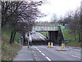
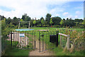
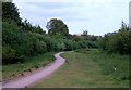
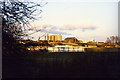
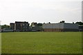
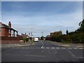
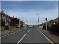
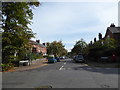
67 photos from this area
Area Information
Key information about the IP32 6ED including its size, population, and administrative classification.
- Area Type
- Postcode
- Area Size
- 3.7 hectares
- Population
- 1604
- Population Density
- 2242 people/km²
House Prices in IP32 6ED
57
Properties
£195,984
Average Sold Price
£49,000
Lowest Price
£442,500
Highest Price
Showing 57 properties
| Address | Type | Beds | Baths | Last Sale Price | Last Sale Date | |
|---|---|---|---|---|---|---|
| 85 Raynham Road, Bury St Edmunds, IP32 6ED | Detached | 4 | 1 | £442,500 | Aug 2025 | |
| 68 Raynham Road, Bury St Edmunds, IP32 6ED | Semi-detached | 3 | 1 | £328,000 | Jun 2025 | |
| 70 Raynham Road, Bury St Edmunds, IP32 6ED | Semi-detached | 2 | 1 | £250,000 | Jan 2025 | |
| 92 Raynham Road, Bury St Edmunds, IP32 6ED | Terraced | 3 | 1 | £260,000 | Dec 2024 | |
| 107 Raynham Road, Bury St Edmunds, IP32 6ED | Semi-detached | 3 | 1 | £270,000 | Nov 2023 | |
| 121 Raynham Road, Bury St Edmunds, IP32 6ED | house | - | - | £140,000 | Mar 2023 | |
| 88 Raynham Road, Bury St Edmunds, IP32 6ED | Terraced | 3 | 1 | £280,000 | Dec 2022 | |
| 84 Raynham Road, Bury St Edmunds, IP32 6ED | house | - | - | £265,000 | Oct 2022 | |
| 61 Raynham Road, Bury St Edmunds, IP32 6ED | house | - | - | £277,500 | Aug 2022 | |
| 79 Raynham Road, Bury St Edmunds, IP32 6ED | Terraced | 3 | 1 | £248,000 | Mar 2022 |
Page 1 of 6
Energy Efficiency in IP32 6ED
Amenities
Schools
| Rank | School | Type | Entry gender | Ages |
|---|
Explore more schools in this area
Go to Schools tabDemographics
Household Size
One person
most common
Accommodation Type
Houses
most common
Tenure
57
majority
Ethnic Group
White
most common
Religion
N/A
most common
Household Composition
N/A
most common
Age
47
median
Adults (30-64 years)
most common
Household Deprivation
N/A
with no deprivation
NS-SEC
42
in Lower managerial occupations
Explore more demographic insights in this area
Go to Demographics tabPlanning
Planning Constraints
- Flood RiskPremium
- Ramsar Wetland SitesPremium
- Area of Outstanding Natural BeautyPremium
- Protected Nature ReservePremium
- Protected WoodlandPremium