Area Overview for IP32 6AP
Photos of IP32 6AP
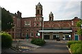
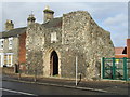
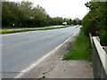
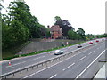
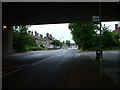
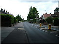
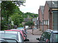
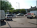
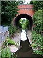
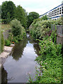
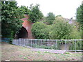
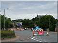
100 photos from this area
Area Information
Key information about the IP32 6AP including its size, population, and administrative classification.
- Area Type
- Postcode
- Area Size
- 8423 m²
- Population
- 1604
- Population Density
- 2242 people/km²
House Prices in IP32 6AP
17
Properties
£263,244
Average Sold Price
£153,000
Lowest Price
£552,000
Highest Price
Showing 17 properties
| Address | Type | Beds | Baths | Last Sale Price | Last Sale Date | |
|---|---|---|---|---|---|---|
| 112A Fornham Road, Bury St Edmunds, IP32 6AP | Detached | 4 | 3 | £552,000 | Oct 2024 | |
| 122 Fornham Road, Bury St Edmunds, IP32 6AP | Semi-detached | 3 | 2 | £299,200 | Aug 2018 | |
| 126 Fornham Road, Bury St Edmunds, IP32 6AP | Semi-detached | 3 | - | £236,000 | Feb 2017 | |
| 130 Fornham Road, Bury St Edmunds, IP32 6AP | house | 3 | - | £220,000 | Dec 2016 | |
| 136 Fornham Road, Bury St Edmunds, IP32 6AP | Semi-detached | 3 | 1 | £217,000 | Mar 2016 | |
| 118 Fornham Road, Bury St Edmunds, IP32 6AP | house | - | - | £240,000 | Jun 2013 | |
| 114 Fornham Road, Bury St Edmunds, IP32 6AP | house | 3 | - | £202,000 | May 2011 | |
| 116 Fornham Road, Bury St Edmunds, IP32 6AP | Detached | 4 | 3 | £250,000 | May 2007 | |
| 128 Fornham Road, Bury St Edmunds, IP32 6AP | Semi-detached | - | - | £153,000 | Jun 2003 | |
| 134 Fornham Road, Bury St Edmunds, IP32 6AP | Detached | 3 | 1 | - | - |
Page 1 of 2
Energy Efficiency in IP32 6AP
Amenities
Schools
| Rank | School | Type | Entry gender | Ages |
|---|
Explore more schools in this area
Go to Schools tabDemographics
Household Size
One person
most common
Accommodation Type
Houses
most common
Tenure
57
majority
Ethnic Group
White
most common
Religion
N/A
most common
Household Composition
N/A
most common
Age
47
median
Adults (30-64 years)
most common
Household Deprivation
N/A
with no deprivation
NS-SEC
42
in Lower managerial occupations
Explore more demographic insights in this area
Go to Demographics tabPlanning
Planning Constraints
- Flood RiskPremium
- Ramsar Wetland SitesPremium
- Area of Outstanding Natural BeautyPremium
- Protected Nature ReservePremium
- Protected WoodlandPremium