Area Overview for IP3 8DE
Photos of IP3 8DE
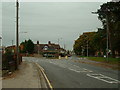
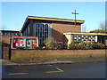
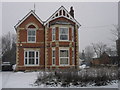
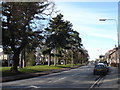
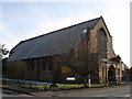
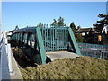
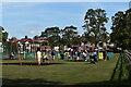
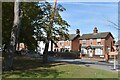
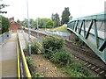
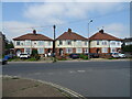
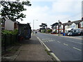
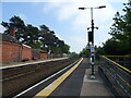
66 photos from this area
Area Information
Key information about the IP3 8DE including its size, population, and administrative classification.
- Area Type
- Postcode
- Area Size
- 8532 m²
- Population
- 2930
- Population Density
- 5139 people/km²
House Prices in IP3 8DE
9
Properties
£201,999
Average Sold Price
£92,000
Lowest Price
£345,000
Highest Price
Showing 9 properties
| Address | Type | Beds | Baths | Last Sale Price | Last Sale Date | |
|---|---|---|---|---|---|---|
| 11 Derby Road, Ipswich, IP3 8DE | Semi-detached | 3 | 2 | £245,000 | Apr 2024 | |
| 15 Derby Road, Ipswich, IP3 8DE | Terraced | 3 | 3 | £232,000 | May 2023 | |
| 13 Derby Road, Ipswich, IP3 8DE | house | - | - | £195,000 | Sep 2020 | |
| 1A Derby Road, Ipswich, IP3 8DE | Flat | - | - | £345,000 | Aug 2018 | |
| 7 Derby Road, Ipswich, IP3 8DE | Semi-detached | 2 | - | £139,995 | Dec 2014 | |
| 3 Derby Road, Ipswich, IP3 8DE | Detached | 3 | 1 | £165,000 | Mar 2013 | |
| 5 Derby Road, Ipswich, IP3 8DE | Semi-detached | 2 | 1 | £92,000 | May 2003 | |
| 3A Derby Road, Ipswich, IP3 8DE | Retail | 3 | 3 | - | - | |
| 1 Derby Road, Ipswich, IP3 8DE | Flat | - | - | - | - |
Energy Efficiency in IP3 8DE
Amenities
Schools
| Rank | School | Type | Entry gender | Ages |
|---|
Explore more schools in this area
Go to Schools tabDemographics
Household Size
Family (3-5 people)
most common
Accommodation Type
Houses
most common
Tenure
59
majority
Ethnic Group
White
most common
Religion
N/A
most common
Household Composition
N/A
most common
Age
47
median
Adults (30-64 years)
most common
Household Deprivation
N/A
with no deprivation
NS-SEC
36
in Lower managerial occupations
Explore more demographic insights in this area
Go to Demographics tabPlanning
Planning Constraints
- Flood RiskPremium
- Ramsar Wetland SitesPremium
- Area of Outstanding Natural BeautyPremium
- Protected Nature ReservePremium
- Protected WoodlandPremium