Area Overview for IP29 5QR
Photos of IP29 5QR
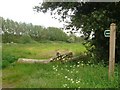
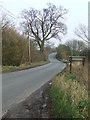
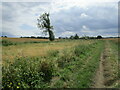
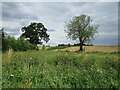
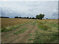
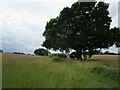
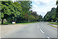
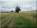
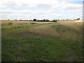
9 photos from this area
Area Information
Key information about the IP29 5QR including its size, population, and administrative classification.
- Area Type
- Postcode
- Area Size
- 30.7 hectares
- Population
- 2202
- Population Density
- 58 people/km²
House Prices in IP29 5QR
19
Properties
£469,400
Average Sold Price
£297,000
Lowest Price
£690,000
Highest Price
Showing 19 properties
| Address | Type | Beds | Baths | Last Sale Price | Last Sale Date | |
|---|---|---|---|---|---|---|
| Mill House, Hargrave Road, Chevington, IP29 5QR | Cottage | 4 | 3 | £495,000 | Jun 2024 | |
| Greenacre, Hargrave Road, Chevington, IP29 5QR | house | 4 | 2 | £690,000 | Aug 2023 | |
| The Nutwalk, Hargrave Road, Chevington, IP29 5QR | Bungalow | 4 | 2 | £450,000 | Jul 2018 | |
| 3 Hargrave Road, Chevington, IP29 5QR | house | 3 | 1 | £297,000 | Apr 2016 | |
| Rowan House, Hargrave Road, Chevington, IP29 5QR | Detached | 6 | 4 | £415,000 | Apr 2014 | |
| Felde House, Hargrave Road, Chevington, IP29 5QR | farmhouse | 6 | 4 | - | - | |
| The Folly, Hargrave Road, Chevington, IP29 5QR | Bungalow | 3 | 3 | - | - | |
| Sheerwood House, Hargrave Road, Chevington, IP29 5QR | Detached | 5 | 2 | - | - | |
| New Ivy House, 1 Hargrave Road, Chevington, IP29 5QR | Semi-detached | - | - | - | - | |
| 10 Hargrave Road, Chevington, IP29 5QR | house | - | - | - | - |
Page 1 of 2
Energy Efficiency in IP29 5QR
Amenities
Schools
| Rank | School | Type | Entry gender | Ages |
|---|
Explore more schools in this area
Go to Schools tabDemographics
Household Size
Two person
most common
Accommodation Type
Houses
most common
Tenure
81
majority
Ethnic Group
White
most common
Religion
N/A
most common
Household Composition
N/A
most common
Age
47
median
Adults (30-64 years)
most common
Household Deprivation
N/A
with no deprivation
NS-SEC
40
in Lower managerial occupations
Explore more demographic insights in this area
Go to Demographics tabPlanning
Planning Constraints
- Flood RiskPremium
- Ramsar Wetland SitesPremium
- Area of Outstanding Natural BeautyPremium
- Protected Nature ReservePremium
- Protected WoodlandPremium