Area Overview for IP29 4PE
Photos of IP29 4PE
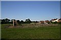
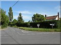
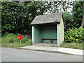
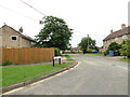
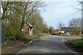
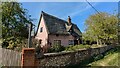
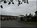
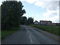
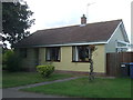
11 photos from this area
Area Information
Key information about the IP29 4PE including its size, population, and administrative classification.
- Area Type
- Postcode
- Area Size
- 8.7 hectares
- Population
- 2106
- Population Density
- 51 people/km²
House Prices in IP29 4PE
34
Properties
£263,816
Average Sold Price
£34,000
Lowest Price
£640,000
Highest Price
Showing 34 properties
| Address | Type | Beds | Baths | Last Sale Price | Last Sale Date | |
|---|---|---|---|---|---|---|
| Linnet House, Lambs Lane, Lawshall, IP29 4PE | house | - | - | £635,000 | Jun 2022 | |
| Mages Yard, Lambs Lane, Lawshall, IP29 4PE | Detached | 4 | 2 | £450,000 | Jun 2021 | |
| Freshfields, Lambs Lane, Lawshall, IP29 4PE | Bungalow | - | - | £410,000 | May 2021 | |
| Siskin Cottage, Lambs Lane, Lawshall, IP29 4PE | Detached | - | - | £155,000 | Feb 2021 | |
| Farmfield House, Lambs Lane, Lawshall, IP29 4PE | house | - | - | £640,000 | Sep 2020 | |
| Snaefell, Lambs Lane, Lawshall, IP29 4PE | Bungalow | 3 | 1 | £325,000 | Mar 2019 | |
| 12 Lambs Lane, Lawshall, IP29 4PE | house | - | - | £225,000 | May 2016 | |
| 4 Lambs Lane, Lawshall, IP29 4PE | house | 3 | - | £205,000 | Oct 2015 | |
| Garden House, Lambs Lane, Lawshall, IP29 4PE | house | 3 | - | £290,000 | Aug 2015 | |
| 7 Lambs Lane, Lawshall, IP29 4PE | house | - | - | £209,000 | May 2011 |
Page 1 of 4
Energy Efficiency in IP29 4PE
Amenities
Schools
| Rank | School | Type | Entry gender | Ages |
|---|
Explore more schools in this area
Go to Schools tabDemographics
Household Size
Two person
most common
Accommodation Type
Houses
most common
Tenure
80
majority
Ethnic Group
White
most common
Religion
N/A
most common
Household Composition
N/A
most common
Age
47
median
Adults (30-64 years)
most common
Household Deprivation
N/A
with no deprivation
NS-SEC
39
in Lower managerial occupations
Explore more demographic insights in this area
Go to Demographics tabPlanning
Planning Constraints
- Flood RiskPremium
- Ramsar Wetland SitesPremium
- Area of Outstanding Natural BeautyPremium
- Protected Nature ReservePremium
- Protected WoodlandPremium