Area Overview for IP28 8SQ
Photos of IP28 8SQ
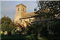
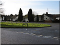
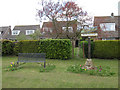
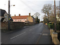
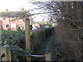
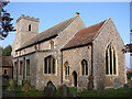
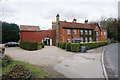
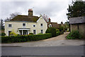
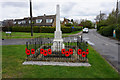
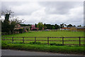
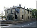
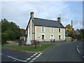
54 photos from this area
Area Information
Key information about the IP28 8SQ including its size, population, and administrative classification.
- Area Type
- Postcode
- Area Size
- 7990 m²
- Population
- 2334
- Population Density
- 98 people/km²
House Prices in IP28 8SQ
12
Properties
£234,075
Average Sold Price
£115,000
Lowest Price
£350,000
Highest Price
Showing 12 properties
| Address | Type | Beds | Baths | Last Sale Price | Last Sale Date | |
|---|---|---|---|---|---|---|
| 15 Freckenham Road, Worlington, IP28 8SQ | house | 2 | - | £350,000 | Dec 2022 | |
| 5 Freckenham Road, Worlington, IP28 8SQ | Detached | 5 | - | £317,500 | May 2022 | |
| 21 Freckenham Road, Worlington, IP28 8SQ | Detached | - | - | £269,950 | Jul 2008 | |
| Lyndale, Freckenham Road, Worlington, IP28 8SQ | Bungalow | - | - | £210,000 | Aug 2004 | |
| Clontarf, 3 Freckenham Road, Worlington, IP28 8SQ | Semi-detached | - | - | £115,000 | Jul 2001 | |
| 17 Freckenham Road, Worlington, IP28 8SQ | Bungalow | 5 | 3 | £142,000 | Jun 1999 | |
| 19 Freckenham Road, Worlington, IP28 8SQ | Bungalow | 3 | 1 | - | - | |
| Mobile Home, Hawthorn Lodge, 11 Freckenham Road, Worlington, IP28 8SQ | Mobile Home | - | - | - | - | |
| Hawthorn Lodge, 11 Freckenham Road, Worlington, IP28 8SQ | house | - | - | - | - | |
| 5 Freckenham Road, Worlington, IP28 8SQ | Detached | - | - | - | - |
Page 1 of 2
Energy Efficiency in IP28 8SQ
Amenities
Schools
| Rank | School | Type | Entry gender | Ages |
|---|
Explore more schools in this area
Go to Schools tabDemographics
Household Size
Two person
most common
Accommodation Type
Houses
most common
Tenure
73
majority
Ethnic Group
White
most common
Religion
N/A
most common
Household Composition
N/A
most common
Age
47
median
Adults (30-64 years)
most common
Household Deprivation
N/A
with no deprivation
NS-SEC
39
in Lower managerial occupations
Explore more demographic insights in this area
Go to Demographics tabPlanning
Planning Constraints
- Flood RiskPremium
- Ramsar Wetland SitesPremium
- Area of Outstanding Natural BeautyPremium
- Protected Nature ReservePremium
- Protected WoodlandPremium