Area Overview for IP28 7LY
Photos of IP28 7LY
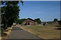

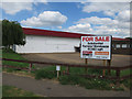
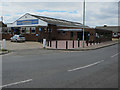
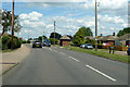
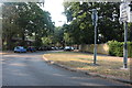
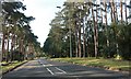
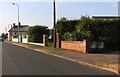
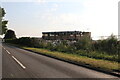
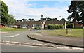
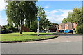
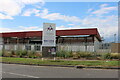
21 photos from this area
Area Information
Key information about the IP28 7LY including its size, population, and administrative classification.
- Area Type
- Postcode
- Area Size
- 8328 m²
- Population
- 1323
- Population Density
- 1345 people/km²
House Prices in IP28 7LY
30
Properties
£104,607
Average Sold Price
£38,995
Lowest Price
£190,000
Highest Price
Showing 30 properties
| Address | Type | Beds | Baths | Last Sale Price | Last Sale Date | |
|---|---|---|---|---|---|---|
| 26 Pembroke Close, Mildenhall, IP28 7LY | house | - | - | £190,000 | Jun 2022 | |
| 16 Pembroke Close, Mildenhall, IP28 7LY | Terraced | 3 | - | £163,000 | Oct 2018 | |
| 6 Pembroke Close, Mildenhall, IP28 7LY | Terraced | 2 | - | £125,000 | Jun 2016 | |
| 20 Pembroke Close, Mildenhall, IP28 7LY | house | - | - | £128,000 | May 2016 | |
| 25 Pembroke Close, Mildenhall, IP28 7LY | Terraced | 3 | 1 | £109,000 | Feb 2016 | |
| 17 Pembroke Close, Mildenhall, IP28 7LY | Terraced | 3 | 1 | £123,000 | Jan 2016 | |
| 11 Pembroke Close, Mildenhall, IP28 7LY | Terraced | 3 | - | £100,000 | Dec 2012 | |
| 28 Pembroke Close, Mildenhall, IP28 7LY | house | - | - | £98,000 | Jan 2012 | |
| 9 Pembroke Close, Mildenhall, IP28 7LY | house | - | - | £85,000 | Sep 2009 | |
| 3 Pembroke Close, Mildenhall, IP28 7LY | Terraced | 3 | 1 | £90,000 | Jun 2008 |
Page 1 of 3
Energy Efficiency in IP28 7LY
Amenities
Schools
| Rank | School | Type | Entry gender | Ages |
|---|
Explore more schools in this area
Go to Schools tabDemographics
Household Size
Two person
most common
Accommodation Type
Houses
most common
Tenure
52
majority
Ethnic Group
White
most common
Religion
N/A
most common
Household Composition
N/A
most common
Age
47
median
Adults (30-64 years)
most common
Household Deprivation
N/A
with no deprivation
NS-SEC
24
in Lower managerial occupations
Explore more demographic insights in this area
Go to Demographics tabPlanning
Planning Constraints
- Flood RiskPremium
- Ramsar Wetland SitesPremium
- Area of Outstanding Natural BeautyPremium
- Protected Nature ReservePremium
- Protected WoodlandPremium