Area Overview for IP28 6LN
Photos of IP28 6LN
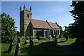
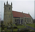
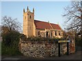
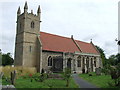
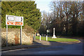
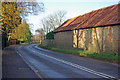
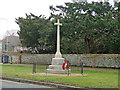
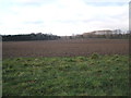
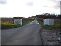
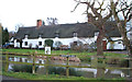
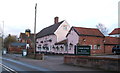
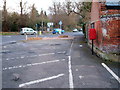
47 photos from this area
Area Information
Key information about the IP28 6LN including its size, population, and administrative classification.
- Area Type
- Postcode
- Area Size
- 1.0 hectares
- Population
- 1569
- Population Density
- 333 people/km²
House Prices in IP28 6LN
17
Properties
£278,995
Average Sold Price
£140,000
Lowest Price
£480,000
Highest Price
Showing 17 properties
| Address | Type | Beds | Baths | Last Sale Price | Last Sale Date | |
|---|---|---|---|---|---|---|
| 16 Dairy Drive, Fornham All Saints, IP28 6LN | Semi-detached | 3 | 1 | £342,000 | Jul 2023 | |
| 10 Dairy Drive, Fornham All Saints, IP28 6LN | Detached | 4 | 2 | £407,000 | Jun 2018 | |
| 17 Dairy Drive, Fornham All Saints, IP28 6LN | house | - | - | £480,000 | Aug 2017 | |
| 14 Dairy Drive, Fornham All Saints, IP28 6LN | Semi-detached | 3 | - | £305,000 | Nov 2016 | |
| 15 Dairy Drive, Fornham All Saints, IP28 6LN | Semi-detached | 3 | - | £230,000 | Jan 2015 | |
| 18 Dairy Drive, Fornham All Saints, IP28 6LN | Semi-detached | 3 | - | £290,000 | Jul 2014 | |
| 2 Dairy Drive, Fornham All Saints, IP28 6LN | Detached | - | - | £365,000 | Sep 2007 | |
| 6 Dairy Drive, Fornham All Saints, IP28 6LN | house | - | - | £200,000 | Jun 2004 | |
| 12 Dairy Drive, Fornham All Saints, IP28 6LN | Semi-detached | 3 | 1 | £140,000 | Dec 2002 | |
| 11 Dairy Drive, Fornham All Saints, IP28 6LN | house | 4 | 2 | £160,000 | Jan 2002 |
Page 1 of 2
Energy Efficiency in IP28 6LN
Amenities
Schools
| Rank | School | Type | Entry gender | Ages |
|---|
Explore more schools in this area
Go to Schools tabDemographics
Household Size
Two person
most common
Accommodation Type
Houses
most common
Tenure
64
majority
Ethnic Group
White
most common
Religion
N/A
most common
Household Composition
N/A
most common
Age
47
median
Adults (30-64 years)
most common
Household Deprivation
N/A
with no deprivation
NS-SEC
41
in Lower managerial occupations
Explore more demographic insights in this area
Go to Demographics tabPlanning
Planning Constraints
- Flood RiskPremium
- Ramsar Wetland SitesPremium
- Area of Outstanding Natural BeautyPremium
- Protected Nature ReservePremium
- Protected WoodlandPremium