Area Overview for IP28 6DT
Photos of IP28 6DT
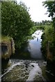
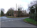
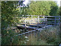
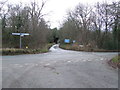
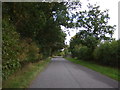
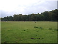
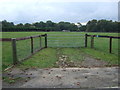
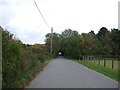
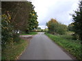
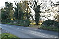
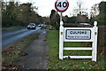
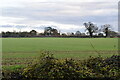
33 photos from this area
Area Information
Key information about the IP28 6DT including its size, population, and administrative classification.
- Area Type
- Postcode
- Area Size
- 36.2 hectares
- Population
- 1492
- Population Density
- 32 people/km²
House Prices in IP28 6DT
13
Properties
£366,125
Average Sold Price
£247,500
Lowest Price
£425,000
Highest Price
Showing 13 properties
| Address | Type | Beds | Baths | Last Sale Price | Last Sale Date | |
|---|---|---|---|---|---|---|
| Southwood, The Street, Culford, IP28 6DT | Bungalow | 3 | - | £410,000 | Oct 2018 | |
| Honeytiles, The Street, Culford, IP28 6DT | Bungalow | - | - | £425,000 | Sep 2018 | |
| Firside, The Street, Culford, IP28 6DT | Bungalow | 3 | 2 | £382,000 | Jan 2016 | |
| Stone Cottage, The Street, Culford, IP28 6DT | Semi-detached | 2 | 1 | £247,500 | Mar 2014 | |
| Crossways, The Street, Culford, IP28 6DT | Retail | 2 | 2 | - | - | |
| Meadow Cottage, The Street, Culford, IP28 6DT | Cottage | 3 | - | - | - | |
| 2, Flint Cottages, The Street, Culford, IP28 6DT | house | - | - | - | - | |
| 1, Flint Cottages, The Street, Culford, IP28 6DT | house | - | - | - | - | |
| Oakcroft, The Street, Culford, IP28 6DT | Detached | - | - | - | - | |
| Glendale, The Street, Culford, IP28 6DT | Detached | - | - | - | - |
Page 1 of 2
Energy Efficiency in IP28 6DT
Amenities
Schools
| Rank | School | Type | Entry gender | Ages |
|---|
Explore more schools in this area
Go to Schools tabDemographics
Household Size
Two person
most common
Accommodation Type
Houses
most common
Tenure
81
majority
Ethnic Group
White
most common
Religion
N/A
most common
Household Composition
N/A
most common
Age
47
median
Adults (30-64 years)
most common
Household Deprivation
N/A
with no deprivation
NS-SEC
42
in Lower managerial occupations
Explore more demographic insights in this area
Go to Demographics tabPlanning
Planning Constraints
- Flood RiskPremium
- Ramsar Wetland SitesPremium
- Area of Outstanding Natural BeautyPremium
- Protected Nature ReservePremium
- Protected WoodlandPremium