Area Overview for IP27 9JS
Photos of IP27 9JS
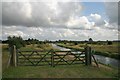
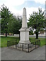
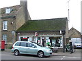
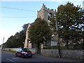
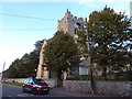
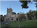
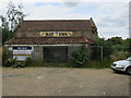
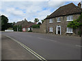
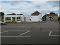
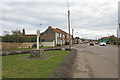
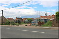
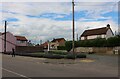
64 photos from this area
Area Information
Key information about the IP27 9JS including its size, population, and administrative classification.
- Area Type
- Postcode
- Area Size
- 1.3 hectares
- Population
- 1689
- Population Density
- 589 people/km²
House Prices in IP27 9JS
44
Properties
£204,895
Average Sold Price
£45,000
Lowest Price
£640,000
Highest Price
Showing 44 properties
| Address | Type | Beds | Baths | Last Sale Price | Last Sale Date | |
|---|---|---|---|---|---|---|
| 21 High Street, Lakenheath, IP27 9JS | Detached | 3 | 2 | £227,500 | Feb 2025 | |
| 15 High Street, Lakenheath, IP27 9JS | house | 4 | 3 | £501,780 | Sep 2022 | |
| 35 High Street, Lakenheath, IP27 9JS | Terraced | 2 | 1 | £154,500 | Dec 2021 | |
| 31 High Street, Lakenheath, IP27 9JS | Terraced | 3 | 1 | £210,000 | Oct 2021 | |
| Chalk Farm, 13 High Street, Lakenheath, IP27 9JS | Farm | 5 | 2 | £640,000 | Jun 2021 | |
| 16 High Street, Lakenheath, IP27 9JS | Detached | 3 | 1 | £150,000 | Apr 2021 | |
| 28 High Street, Lakenheath, IP27 9JS | Semi-detached | 2 | 1 | £210,000 | Apr 2020 | |
| 32B High Street, Lakenheath, IP27 9JS | Flat | 2 | 1 | £105,000 | Jan 2019 | |
| 38 High Street, Lakenheath, IP27 9JS | Terraced | 3 | 1 | £125,000 | Sep 2018 | |
| 30A High Street, Lakenheath, IP27 9JS | Flat | - | - | £90,000 | Mar 2016 |
Page 1 of 5
Energy Efficiency in IP27 9JS
Amenities
Schools
| Rank | School | Type | Entry gender | Ages |
|---|
Explore more schools in this area
Go to Schools tabDemographics
Household Size
Two person
most common
Accommodation Type
Houses
most common
Tenure
69
majority
Ethnic Group
White
most common
Religion
N/A
most common
Household Composition
N/A
most common
Age
47
median
Adults (30-64 years)
most common
Household Deprivation
N/A
with no deprivation
NS-SEC
28
in Lower managerial occupations
Explore more demographic insights in this area
Go to Demographics tabPlanning
Planning Constraints
- Flood RiskPremium
- Ramsar Wetland SitesPremium
- Area of Outstanding Natural BeautyPremium
- Protected Nature ReservePremium
- Protected WoodlandPremium