Area Overview for IP27 9JA
Photos of IP27 9JA
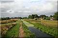
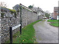
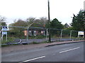
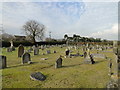
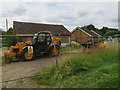
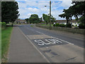
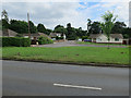
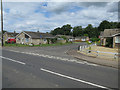
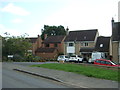
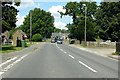
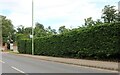
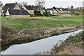
17 photos from this area
Area Information
Key information about the IP27 9JA including its size, population, and administrative classification.
- Area Type
- Postcode
- Area Size
- 2.6 hectares
- Population
- 1689
- Population Density
- 589 people/km²
House Prices in IP27 9JA
26
Properties
£173,489
Average Sold Price
£25,000
Lowest Price
£516,000
Highest Price
Showing 26 properties
| Address | Type | Beds | Baths | Last Sale Price | Last Sale Date | |
|---|---|---|---|---|---|---|
| The Celtic Barn, Station Road, Lakenheath, IP27 9JA | Bungalow | - | - | £516,000 | Feb 2023 | |
| Home Farm House, 31 Station Road, Lakenheath, IP27 9JA | Detached | 4 | 3 | £280,000 | Aug 2022 | |
| 25 Station Road, Lakenheath, IP27 9JA | house | - | - | £130,000 | Dec 2021 | |
| 9A Station Road, Lakenheath, IP27 9JA | house | 1 | 1 | £180,000 | May 2021 | |
| 8 Station Road, Lakenheath, IP27 9JA | Bungalow | 3 | 1 | £169,995 | Dec 2015 | |
| 6 Station Road, Lakenheath, IP27 9JA | Bungalow | 3 | - | £167,000 | Dec 2013 | |
| 1 Station Road, Lakenheath, IP27 9JA | Bungalow | 2 | - | £140,000 | Aug 2012 | |
| 4 Station Road, Lakenheath, IP27 9JA | Bungalow | - | - | £168,000 | Nov 2007 | |
| 9 Station Road, Lakenheath, IP27 9JA | Semi-detached | 3 | 2 | £82,855 | Mar 2007 | |
| 21 Station Road, Lakenheath, IP27 9JA | Terraced | - | - | £70,000 | Nov 2006 |
Page 1 of 3
Energy Efficiency in IP27 9JA
Amenities
Schools
| Rank | School | Type | Entry gender | Ages |
|---|
Explore more schools in this area
Go to Schools tabDemographics
Household Size
Two person
most common
Accommodation Type
Houses
most common
Tenure
69
majority
Ethnic Group
White
most common
Religion
N/A
most common
Household Composition
N/A
most common
Age
47
median
Adults (30-64 years)
most common
Household Deprivation
N/A
with no deprivation
NS-SEC
28
in Lower managerial occupations
Explore more demographic insights in this area
Go to Demographics tabPlanning
Planning Constraints
- Flood RiskPremium
- Ramsar Wetland SitesPremium
- Area of Outstanding Natural BeautyPremium
- Protected Nature ReservePremium
- Protected WoodlandPremium