Area Overview for IP27 0TG
Photos of IP27 0TG
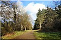
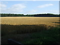
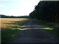
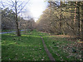
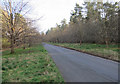
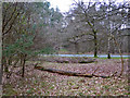
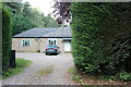
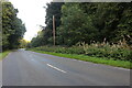
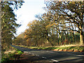
12 photos from this area
Area Information
Key information about the IP27 0TG including its size, population, and administrative classification.
- Area Type
- Postcode
- Area Size
- 1.1 km²
- Population
- 1853
- Population Density
- 44 people/km²
House Prices in IP27 0TG
29
Properties
£209,329
Average Sold Price
£88,000
Lowest Price
£435,000
Highest Price
Showing 29 properties
| Address | Type | Beds | Baths | Last Sale Price | Last Sale Date | |
|---|---|---|---|---|---|---|
| Myrtle Cottage, 34 Santon Downham, Santon Downham, IP27 0TG | house | - | - | £250,000 | Apr 2022 | |
| Hazel Cottage, 36 Santon Downham, Santon Downham, IP27 0TG | Semi-detached | 3 | 1 | £230,000 | Jun 2021 | |
| Broom Cottage, 24 Santon Downham, Santon Downham, IP27 0TG | Semi-detached | 3 | 2 | £255,000 | Apr 2019 | |
| Hornbeams, 48 Santon Downham, Santon Downham, IP27 0TG | Detached | 4 | 2 | £435,000 | Apr 2018 | |
| Primrose Cottage, 29 Santon Downham, Santon Downham, IP27 0TG | Semi-detached | 3 | - | £170,000 | May 2015 | |
| Cranberry Cottage, 41 Santon Downham, Santon Downham, IP27 0TG | house | - | - | £140,000 | Jul 2012 | |
| Hamewith, 50 Santon Downham, Santon Downham, IP27 0TG | house | 4 | - | £240,000 | Jun 2012 | |
| Linden Lea, 49 Santon Downham, Santon Downham, IP27 0TG | Detached | 3 | 2 | £339,950 | Oct 2009 | |
| Rowan Cottage, 35 Santon Downham, Santon Downham, IP27 0TG | Semi-detached | - | - | £160,000 | Jul 2006 | |
| Beavor Cottage, 38 Santon Downham, Santon Downham, IP27 0TG | Semi-detached | - | - | £92,000 | Dec 2001 |
Page 1 of 3
Energy Efficiency in IP27 0TG
Amenities
Schools
| Rank | School | Type | Entry gender | Ages |
|---|
Explore more schools in this area
Go to Schools tabDemographics
Household Size
Two person
most common
Accommodation Type
Houses
most common
Tenure
58
majority
Ethnic Group
White
most common
Religion
N/A
most common
Household Composition
N/A
most common
Age
47
median
Adults (30-64 years)
most common
Household Deprivation
N/A
with no deprivation
NS-SEC
26
in Lower managerial occupations
Explore more demographic insights in this area
Go to Demographics tabPlanning
Planning Constraints
- Flood RiskPremium
- Ramsar Wetland SitesPremium
- Area of Outstanding Natural BeautyPremium
- Protected Nature ReservePremium
- Protected WoodlandPremium