Area Overview for IP27 0JL
Photos of IP27 0JL
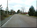
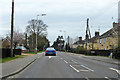
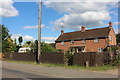
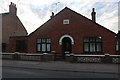
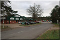
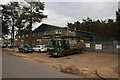
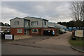
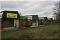
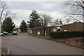
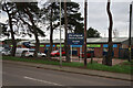
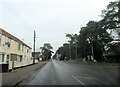
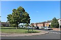
23 photos from this area
Area Information
Key information about the IP27 0JL including its size, population, and administrative classification.
- Area Type
- Postcode
- Area Size
- 7530 m²
- Population
- 2150
- Population Density
- 1647 people/km²
House Prices in IP27 0JL
22
Properties
£178,166
Average Sold Price
£79,995
Lowest Price
£245,000
Highest Price
Showing 22 properties
| Address | Type | Beds | Baths | Last Sale Price | Last Sale Date | |
|---|---|---|---|---|---|---|
| 22 Queens Road, Brandon, IP27 0JL | Semi-detached | 3 | 1 | £223,500 | Sep 2023 | |
| 34 Queens Road, Brandon, IP27 0JL | Semi-detached | 3 | 1 | £230,000 | May 2023 | |
| 29 Queens Road, Brandon, IP27 0JL | Retail | 3 | 1 | £245,000 | Apr 2022 | |
| 18 Queens Road, Brandon, IP27 0JL | house | - | - | £190,000 | Jul 2020 | |
| 36 Queens Road, Brandon, IP27 0JL | Semi-detached | 2 | 1 | £145,000 | Nov 2018 | |
| 25 Queens Road, Brandon, IP27 0JL | Semi-detached | 3 | 1 | £175,000 | Jul 2017 | |
| 24 Queens Road, Brandon, IP27 0JL | Semi-detached | 3 | - | £160,000 | Jun 2017 | |
| 28 Queens Road, Brandon, IP27 0JL | Semi-detached | 3 | 2 | £155,000 | May 2008 | |
| 17 Queens Road, Brandon, IP27 0JL | Semi-detached | - | - | £79,995 | Sep 2002 | |
| 19 Queens Road, Brandon, IP27 0JL | house | 3 | 1 | - | - |
Page 1 of 3
Energy Efficiency in IP27 0JL
Amenities
Schools
| Rank | School | Type | Entry gender | Ages |
|---|
Explore more schools in this area
Go to Schools tabDemographics
Household Size
Two person
most common
Accommodation Type
Houses
most common
Tenure
58
majority
Ethnic Group
White
most common
Religion
N/A
most common
Household Composition
N/A
most common
Age
47
median
Adults (30-64 years)
most common
Household Deprivation
N/A
with no deprivation
NS-SEC
20
in Lower managerial occupations
Explore more demographic insights in this area
Go to Demographics tabPlanning
Planning Constraints
- Flood RiskPremium
- Ramsar Wetland SitesPremium
- Area of Outstanding Natural BeautyPremium
- Protected Nature ReservePremium
- Protected WoodlandPremium