Area Overview for IP27 0BS
Photos of IP27 0BS
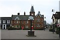
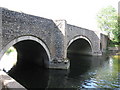
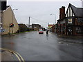
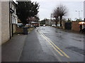
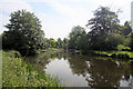
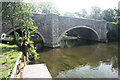
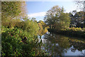
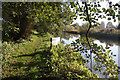
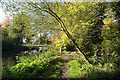
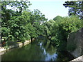
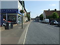
100 photos from this area
Area Information
Key information about the IP27 0BS including its size, population, and administrative classification.
- Area Type
- Postcode
- Area Size
- 7639 m²
- Population
- 2426
- Population Density
- 2844 people/km²
House Prices in IP27 0BS
28
Properties
£147,933
Average Sold Price
£37,000
Lowest Price
£255,500
Highest Price
Showing 28 properties
| Address | Type | Beds | Baths | Last Sale Price | Last Sale Date | |
|---|---|---|---|---|---|---|
| 30-32 Thetford Road, Brandon, IP27 0BS | Terraced | 3 | 1 | £220,000 | Mar 2025 | |
| 17 Thetford Road, Brandon, IP27 0BS | Terraced | 3 | 1 | £225,000 | Jan 2025 | |
| 34 Thetford Road, Brandon, IP27 0BS | Detached | 3 | 1 | £198,500 | Apr 2024 | |
| 24 Thetford Road, Brandon, IP27 0BS | Character Property | 2 | 1 | £174,000 | Apr 2022 | |
| 28 Thetford Road, Brandon, IP27 0BS | Terraced | 2 | 1 | £170,000 | Mar 2022 | |
| 29 Thetford Road, Brandon, IP27 0BS | house | - | - | £157,000 | Jan 2022 | |
| 27 Thetford Road, Brandon, IP27 0BS | house | 3 | - | £115,000 | Feb 2021 | |
| 26 Thetford Road, Brandon, IP27 0BS | house | - | - | £160,000 | Nov 2019 | |
| 31 Thetford Road, Brandon, IP27 0BS | Detached | 4 | - | £255,500 | Apr 2017 | |
| 22 Thetford Road, Brandon, IP27 0BS | Terraced | 2 | 1 | £125,000 | Feb 2017 |
Page 1 of 3
Energy Efficiency in IP27 0BS
Amenities
Schools
| Rank | School | Type | Entry gender | Ages |
|---|
Explore more schools in this area
Go to Schools tabDemographics
Household Size
One person
most common
Accommodation Type
Houses
most common
Tenure
44
majority
Ethnic Group
White
most common
Religion
N/A
most common
Household Composition
N/A
most common
Age
47
median
Adults (30-64 years)
most common
Household Deprivation
N/A
with no deprivation
NS-SEC
19
in Lower managerial occupations
Explore more demographic insights in this area
Go to Demographics tabPlanning
Planning Constraints
- Flood RiskPremium
- Ramsar Wetland SitesPremium
- Area of Outstanding Natural BeautyPremium
- Protected Nature ReservePremium
- Protected WoodlandPremium