Area Overview for IP26 5BZ
Photos of IP26 5BZ
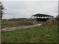
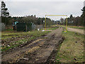
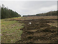
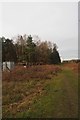

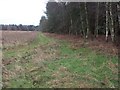
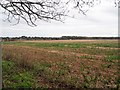
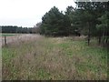
25 photos from this area
Area Information
Key information about the IP26 5BZ including its size, population, and administrative classification.
- Area Type
- Postcode
- Area Size
- 2.0 km²
- Population
- 2133
- Population Density
- 22 people/km²
House Prices in IP26 5BZ
6
Properties
£281,650
Average Sold Price
£249,950
Lowest Price
£300,000
Highest Price
Showing 6 properties
| Address | Type | Beds | Baths | Last Sale Price | Last Sale Date | |
|---|---|---|---|---|---|---|
| Quail Cottage, High Ash, Ickburgh, IP26 5BZ | Detached | 3 | - | £300,000 | Dec 2022 | |
| Crane Cottage, High Ash, Ickburgh, IP26 5BZ | Semi-detached | 4 | 2 | £295,000 | Nov 2016 | |
| Forest Lodge, High Ash, Ickburgh, IP26 5BZ | Bungalow | 3 | 1 | £249,950 | Aug 2007 | |
| The Covert, High Ash, Ickburgh, IP26 5BZ | Detached | - | - | - | - | |
| Romney Farm Straw Storage Barn, High Ash, Ickburgh, IP26 5BZ | Farm | - | - | - | - | |
| Falconers Lodge, High Ash, Hilborough, IP26 5BZ | hotel | - | - | - | - |
Energy Efficiency in IP26 5BZ
Amenities
Schools
| Rank | School | Type | Entry gender | Ages |
|---|
Explore more schools in this area
Go to Schools tabDemographics
Household Size
Two person
most common
Accommodation Type
Houses
most common
Tenure
75
majority
Ethnic Group
White
most common
Religion
N/A
most common
Household Composition
N/A
most common
Age
47
median
Adults (30-64 years)
most common
Household Deprivation
N/A
with no deprivation
NS-SEC
30
in Lower managerial occupations
Explore more demographic insights in this area
Go to Demographics tabPlanning
Planning Constraints
- Flood RiskPremium
- Ramsar Wetland SitesPremium
- Area of Outstanding Natural BeautyPremium
- Protected Nature ReservePremium
- Protected WoodlandPremium