Area Overview for IP26 5BN
Photos of IP26 5BN
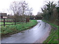
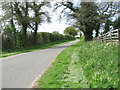
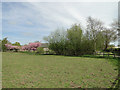
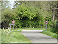
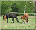
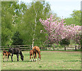
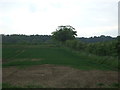
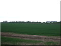
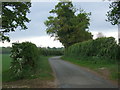
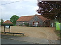
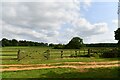
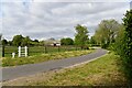
18 photos from this area
Area Information
Key information about the IP26 5BN including its size, population, and administrative classification.
- Area Type
- Postcode
- Area Size
- 1.5 km²
- Population
- 2133
- Population Density
- 22 people/km²
House Prices in IP26 5BN
47
Properties
£210,300
Average Sold Price
£45,000
Lowest Price
£510,000
Highest Price
Showing 47 properties
| Address | Type | Beds | Baths | Last Sale Price | Last Sale Date | |
|---|---|---|---|---|---|---|
| 33 Westgate Street, Hilborough, IP26 5BN | house | - | - | £430,000 | Mar 2021 | |
| Spiders Web, 67 Westgate Street, Hilborough, IP26 5BN | house | - | - | £510,000 | Dec 2020 | |
| 29 Westgate Street, Hilborough, IP26 5BN | house | 3 | 2 | £370,000 | Jun 2020 | |
| 19A Westgate Street, Hilborough, IP26 5BN | Semi-detached | 3 | 1 | £250,000 | Jun 2019 | |
| 24 Westgate Street, Hilborough, IP26 5BN | Cottage | 2 | - | £180,000 | Nov 2016 | |
| The Forge, 14 Westgate Street, Hilborough, IP26 5BN | Detached | 3 | 2 | £240,000 | Nov 2013 | |
| 31 Westgate Street, Hilborough, IP26 5BN | Detached | 3 | - | £230,000 | Sep 2013 | |
| 15A Westgate Street, Hilborough, IP26 5BN | house | 3 | - | £135,000 | Nov 2011 | |
| 25 Westgate Street, Hilborough, IP26 5BN | house | 2 | - | £165,000 | Jul 2011 | |
| 20 Westgate Street, Hilborough, IP26 5BN | house | - | - | £162,000 | Apr 2010 |
Page 1 of 5
Energy Efficiency in IP26 5BN
Amenities
Schools
| Rank | School | Type | Entry gender | Ages |
|---|
Explore more schools in this area
Go to Schools tabDemographics
Household Size
Two person
most common
Accommodation Type
Houses
most common
Tenure
75
majority
Ethnic Group
White
most common
Religion
N/A
most common
Household Composition
N/A
most common
Age
47
median
Adults (30-64 years)
most common
Household Deprivation
N/A
with no deprivation
NS-SEC
30
in Lower managerial occupations
Explore more demographic insights in this area
Go to Demographics tabPlanning
Planning Constraints
- Flood RiskPremium
- Ramsar Wetland SitesPremium
- Area of Outstanding Natural BeautyPremium
- Protected Nature ReservePremium
- Protected WoodlandPremium