Area Overview for IP25 6UE
Photos of IP25 6UE
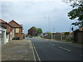
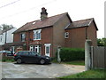
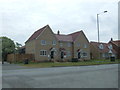
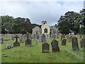
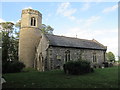
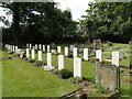
40 photos from this area
Area Information
Key information about the IP25 6UE including its size, population, and administrative classification.
- Area Type
- Postcode
- Area Size
- 4559 m²
- Population
- 2233
- Population Density
- 1596 people/km²
House Prices in IP25 6UE
19
Properties
£124,750
Average Sold Price
£33,500
Lowest Price
£200,000
Highest Price
Showing 19 properties
| Address | Type | Beds | Baths | Last Sale Price | Last Sale Date | |
|---|---|---|---|---|---|---|
| 142 Lovell Gardens, Watton, IP25 6UE | Detached | 3 | - | £149,000 | Jan 2025 | |
| 147 Lovell Gardens, Watton, IP25 6UE | Terraced | 3 | 1 | £160,000 | Nov 2023 | |
| 160 Lovell Gardens, Watton, IP25 6UE | Terraced | 3 | 1 | £183,500 | Jul 2023 | |
| 157 Lovell Gardens, Watton, IP25 6UE | Terraced | 3 | - | £200,000 | Aug 2022 | |
| 156 Lovell Gardens, Watton, IP25 6UE | house | - | - | £174,000 | Nov 2021 | |
| 145 Lovell Gardens, Watton, IP25 6UE | house | - | - | £143,000 | Oct 2021 | |
| 153 Lovell Gardens, Watton, IP25 6UE | house | 3 | - | £151,000 | Aug 2021 | |
| 148 Lovell Gardens, Watton, IP25 6UE | house | 3 | 1 | £122,500 | Oct 2014 | |
| 155 Lovell Gardens, Watton, IP25 6UE | house | - | - | £97,000 | May 2010 | |
| 150 Lovell Gardens, Watton, IP25 6UE | Detached | - | - | £105,000 | May 2005 |
Page 1 of 2
Energy Efficiency in IP25 6UE
Amenities
Schools
| Rank | School | Type | Entry gender | Ages |
|---|
Explore more schools in this area
Go to Schools tabDemographics
Household Size
Two person
most common
Accommodation Type
Houses
most common
Tenure
69
majority
Ethnic Group
White
most common
Religion
N/A
most common
Household Composition
N/A
most common
Age
47
median
Adults (30-64 years)
most common
Household Deprivation
N/A
with no deprivation
NS-SEC
24
in Lower managerial occupations
Explore more demographic insights in this area
Go to Demographics tabPlanning
Planning Constraints
- Flood RiskPremium
- Ramsar Wetland SitesPremium
- Area of Outstanding Natural BeautyPremium
- Protected Nature ReservePremium
- Protected WoodlandPremium