Area Overview for IP24 2LD
Photos of IP24 2LD
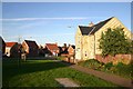
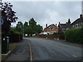
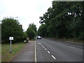
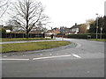
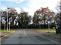
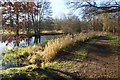


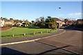
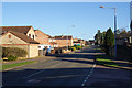
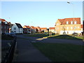
11 photos from this area
Area Information
Key information about the IP24 2LD including its size, population, and administrative classification.
- Area Type
- Postcode
- Area Size
- 2.3 hectares
- Population
- 2807
- Population Density
- 4091 people/km²
House Prices in IP24 2LD
40
Properties
£160,759
Average Sold Price
£47,500
Lowest Price
£290,000
Highest Price
Showing 40 properties
| Address | Type | Beds | Baths | Last Sale Price | Last Sale Date | |
|---|---|---|---|---|---|---|
| 14 Fisher Way, Thetford, IP24 2LD | house | - | - | £260,000 | Feb 2024 | |
| 30 Fisher Way, Thetford, IP24 2LD | house | - | - | £290,000 | Oct 2022 | |
| 15 Fisher Way, Thetford, IP24 2LD | house | - | - | £271,000 | Feb 2022 | |
| 11 Fisher Way, Thetford, IP24 2LD | house | - | - | £241,500 | May 2021 | |
| 31 Fisher Way, Thetford, IP24 2LD | Bungalow | 4 | 1 | £215,000 | Mar 2019 | |
| 20 Fisher Way, Thetford, IP24 2LD | house | - | - | £185,000 | Mar 2017 | |
| 13 Fisher Way, Thetford, IP24 2LD | house | - | - | £218,000 | Aug 2016 | |
| 5 Fisher Way, Thetford, IP24 2LD | Semi-detached | 3 | 1 | £182,000 | Jun 2016 | |
| 16 Fisher Way, Thetford, IP24 2LD | house | - | - | £165,000 | Aug 2015 | |
| 22 Fisher Way, Thetford, IP24 2LD | house | 3 | 1 | £157,500 | Jan 2014 |
Page 1 of 4
Energy Efficiency in IP24 2LD
Amenities
Schools
| Rank | School | Type | Entry gender | Ages |
|---|
Explore more schools in this area
Go to Schools tabDemographics
Household Size
Family (3-5 people)
most common
Accommodation Type
Houses
most common
Tenure
65
majority
Ethnic Group
White
most common
Religion
N/A
most common
Household Composition
N/A
most common
Age
47
median
Adults (30-64 years)
most common
Household Deprivation
N/A
with no deprivation
NS-SEC
31
in Lower managerial occupations
Explore more demographic insights in this area
Go to Demographics tabPlanning
Planning Constraints
- Flood RiskPremium
- Ramsar Wetland SitesPremium
- Area of Outstanding Natural BeautyPremium
- Protected Nature ReservePremium
- Protected WoodlandPremium