Area Overview for IP22 5SQ
Photos of IP22 5SQ
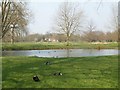
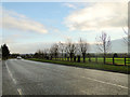
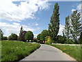
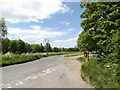

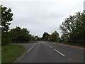
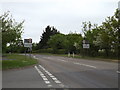
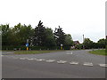
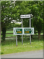
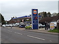
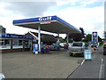
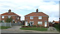
48 photos from this area
Area Information
Key information about the IP22 5SQ including its size, population, and administrative classification.
- Area Type
- Postcode
- Area Size
- 2.0 hectares
- Population
- 1083
- Population Density
- 269 people/km²
House Prices in IP22 5SQ
39
Properties
£208,571
Average Sold Price
£61,500
Lowest Price
£330,000
Highest Price
Showing 39 properties
| Address | Type | Beds | Baths | Last Sale Price | Last Sale Date | |
|---|---|---|---|---|---|---|
| 33 Tudor Avenue, Roydon, IP22 5SQ | Semi-detached | 3 | 1 | £205,000 | Oct 2025 | |
| 28 Tudor Avenue, Roydon, IP22 5SQ | Detached | 4 | 2 | £310,000 | Feb 2025 | |
| 35 Tudor Avenue, Roydon, IP22 5SQ | Semi-detached | 3 | 1 | £245,000 | Nov 2024 | |
| 13 Tudor Avenue, Roydon, IP22 5SQ | Detached | 3 | 2 | £255,000 | Jul 2024 | |
| 12 Tudor Avenue, Roydon, IP22 5SQ | Semi-detached | 3 | 1 | £280,000 | Jun 2023 | |
| 9 Tudor Avenue, Roydon, IP22 5SQ | Semi-detached | 4 | 2 | £315,000 | Dec 2022 | |
| 29 Tudor Avenue, Roydon, IP22 5SQ | Detached | 3 | 1 | £295,000 | Sep 2022 | |
| 19 Tudor Avenue, Roydon, IP22 5SQ | Detached | 3 | - | £233,000 | Apr 2021 | |
| 15 Tudor Avenue, Roydon, IP22 5SQ | Detached | 3 | 1 | £235,000 | Jul 2020 | |
| 25 Tudor Avenue, Roydon, IP22 5SQ | Detached | 4 | 2 | £295,000 | Jul 2020 |
Page 1 of 4
Energy Efficiency in IP22 5SQ
Amenities
Schools
| Rank | School | Type | Entry gender | Ages |
|---|
Explore more schools in this area
Go to Schools tabDemographics
Household Size
Two person
most common
Accommodation Type
Houses
most common
Tenure
89
majority
Ethnic Group
White
most common
Religion
N/A
most common
Household Composition
N/A
most common
Age
47
median
Adults (30-64 years)
most common
Household Deprivation
N/A
with no deprivation
NS-SEC
25
in Lower managerial occupations
Explore more demographic insights in this area
Go to Demographics tabPlanning
Planning Constraints
- Flood RiskPremium
- Ramsar Wetland SitesPremium
- Area of Outstanding Natural BeautyPremium
- Protected Nature ReservePremium
- Protected WoodlandPremium