Area Overview for IP22 4JH
Photos of IP22 4JH
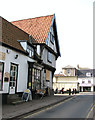
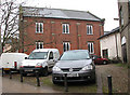
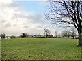
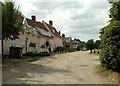
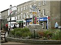
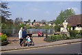
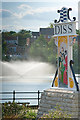
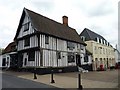
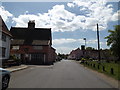
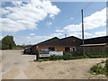
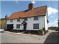
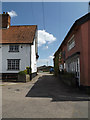
100 photos from this area
Area Information
Key information about the IP22 4JH including its size, population, and administrative classification.
- Area Type
- Postcode
- Area Size
- 3.4 hectares
- Population
- 2478
- Population Density
- 86 people/km²
House Prices in IP22 4JH
12
Properties
£221,854
Average Sold Price
£45,000
Lowest Price
£475,000
Highest Price
Showing 12 properties
| Address | Type | Beds | Baths | Last Sale Price | Last Sale Date | |
|---|---|---|---|---|---|---|
| 12 Victoria Close, Diss, IP22 4JH | house | - | - | £475,000 | Jan 2025 | |
| 10 Victoria Close, Diss, IP22 4JH | Bungalow | - | - | £370,000 | Feb 2022 | |
| 6 Victoria Close, Diss, IP22 4JH | Bungalow | - | - | £160,000 | Nov 2018 | |
| 8 Victoria Close, Diss, IP22 4JH | Detached | 3 | 1 | £265,000 | Jun 2017 | |
| 5 Victoria Close, Diss, IP22 4JH | Semi-detached | 2 | 1 | £158,000 | Jan 2015 | |
| 2 Victoria Close, Diss, IP22 4JH | Bungalow | 2 | - | £175,000 | Jul 2014 | |
| 9 Victoria Close, Diss, IP22 4JH | Bungalow | 4 | - | £320,000 | Oct 2013 | |
| 4 Victoria Close, Diss, IP22 4JH | Bungalow | - | - | £135,000 | Dec 2009 | |
| 1 Victoria Close, Diss, IP22 4JH | Detached | - | - | £199,750 | Aug 2006 | |
| 11 Victoria Close, Diss, IP22 4JH | Detached | - | - | £249,999 | Jun 2003 |
Page 1 of 2
Energy Efficiency in IP22 4JH
Amenities
Schools
| Rank | School | Type | Entry gender | Ages |
|---|
Explore more schools in this area
Go to Schools tabDemographics
Household Size
Two person
most common
Accommodation Type
Houses
most common
Tenure
81
majority
Ethnic Group
White
most common
Religion
N/A
most common
Household Composition
N/A
most common
Age
47
median
Adults (30-64 years)
most common
Household Deprivation
N/A
with no deprivation
NS-SEC
36
in Lower managerial occupations
Explore more demographic insights in this area
Go to Demographics tabPlanning
Planning Constraints
- Flood RiskPremium
- Ramsar Wetland SitesPremium
- Area of Outstanding Natural BeautyPremium
- Protected Nature ReservePremium
- Protected WoodlandPremium