Area Overview for IP22 4AD
Photos of IP22 4AD
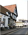
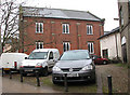
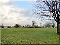
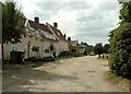
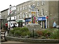
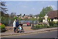

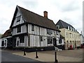
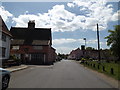
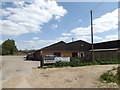
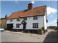
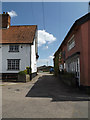
100 photos from this area
Area Information
Key information about the IP22 4AD including its size, population, and administrative classification.
- Area Type
- Postcode
- Area Size
- 8616 m²
- Population
- 1739
- Population Density
- 2270 people/km²
House Prices in IP22 4AD
19
Properties
£554,646
Average Sold Price
£63,000
Lowest Price
£1,400,939
Highest Price
Showing 19 properties
| Address | Type | Beds | Baths | Last Sale Price | Last Sale Date | |
|---|---|---|---|---|---|---|
| 36 Mere Street, Diss, IP22 4AD | Retail | - | - | £1,400,939 | Mar 2019 | |
| 34A Mere Street, Diss, IP22 4AD | Flat | - | - | £200,000 | Feb 2017 | |
| 21A Mere Street, Diss, IP22 4AD | Maisonette | 2 | - | £63,000 | Aug 1999 | |
| 36C Mere Street, Diss, IP22 4AD | Flat | - | - | - | - | |
| 2A Mere Street, Diss, IP22 4AD | Maisonette | - | - | - | - | |
| 35D Mere Street, Diss, IP22 4AD | Flat | - | - | - | - | |
| Dillons Stores, First And Second Floors, 20 Mere Street, Diss, IP22 4AD | Office | - | - | - | - | |
| Sue Ryder Care, Rear Of 36-36D, Mere Street, Diss, IP22 4AD | warehouse | - | - | - | - | |
| 12A Mere Street, Diss, IP22 4AD | house | - | - | - | - | |
| 35C Mere Street, Diss, IP22 4AD | Flat | - | - | - | - |
Page 1 of 2
Energy Efficiency in IP22 4AD
Amenities
Schools
| Rank | School | Type | Entry gender | Ages |
|---|
Explore more schools in this area
Go to Schools tabDemographics
Household Size
One person
most common
Accommodation Type
Houses
most common
Tenure
51
majority
Ethnic Group
White
most common
Religion
N/A
most common
Household Composition
N/A
most common
Age
47
median
Adults (30-64 years)
most common
Household Deprivation
N/A
with no deprivation
NS-SEC
26
in Lower managerial occupations
Explore more demographic insights in this area
Go to Demographics tabPlanning
Planning Constraints
- Flood RiskPremium
- Ramsar Wetland SitesPremium
- Area of Outstanding Natural BeautyPremium
- Protected Nature ReservePremium
- Protected WoodlandPremium