Area Overview for IP22 2RY
Photos of IP22 2RY
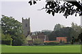
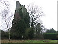
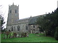
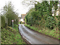
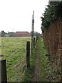
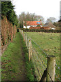
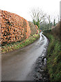
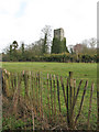

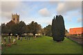
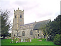
100 photos from this area
Area Information
Key information about the IP22 2RY including its size, population, and administrative classification.
- Area Type
- Postcode
- Area Size
- 5.0 hectares
- Population
- 1609
- Population Density
- 44 people/km²
House Prices in IP22 2RY
40
Properties
£220,521
Average Sold Price
£72,000
Lowest Price
£425,000
Highest Price
Showing 40 properties
| Address | Type | Beds | Baths | Last Sale Price | Last Sale Date | |
|---|---|---|---|---|---|---|
| 36 Elm Grove, Garboldisham, IP22 2RY | Bungalow | 3 | 1 | £300,000 | Jun 2025 | |
| 30 Elm Grove, Garboldisham, IP22 2RY | Bungalow | 3 | 2 | £183,350 | Apr 2024 | |
| 23 Elm Grove, Garboldisham, IP22 2RY | Detached | 4 | 1 | £425,000 | Sep 2023 | |
| 38 Elm Grove, Garboldisham, IP22 2RY | Bungalow | 3 | 1 | £345,000 | Sep 2023 | |
| 24 Elm Grove, Garboldisham, IP22 2RY | Detached | 4 | 2 | £365,000 | Jul 2023 | |
| 7 Elm Grove, Garboldisham, IP22 2RY | Retail | 3 | 1 | £260,000 | Aug 2022 | |
| 11 Elm Grove, Garboldisham, IP22 2RY | Retail | 3 | 1 | £280,000 | Jan 2022 | |
| 34 Elm Grove, Garboldisham, IP22 2RY | Bungalow | 2 | - | £285,000 | Sep 2021 | |
| 2 Elm Grove, Garboldisham, IP22 2RY | Bungalow | - | - | £240,700 | Mar 2021 | |
| 32 Elm Grove, Garboldisham, IP22 2RY | Bungalow | 4 | 1 | £367,500 | Jul 2020 |
Page 1 of 4
Energy Efficiency in IP22 2RY
Amenities
Schools
| Rank | School | Type | Entry gender | Ages |
|---|
Explore more schools in this area
Go to Schools tabDemographics
Household Size
Two person
most common
Accommodation Type
Houses
most common
Tenure
70
majority
Ethnic Group
White
most common
Religion
N/A
most common
Household Composition
N/A
most common
Age
47
median
Adults (30-64 years)
most common
Household Deprivation
N/A
with no deprivation
NS-SEC
34
in Lower managerial occupations
Explore more demographic insights in this area
Go to Demographics tabPlanning
Planning Constraints
- Flood RiskPremium
- Ramsar Wetland SitesPremium
- Area of Outstanding Natural BeautyPremium
- Protected Nature ReservePremium
- Protected WoodlandPremium