Area Overview for IP22 2NF
Photos of IP22 2NF
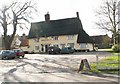
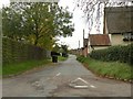
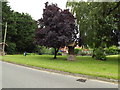
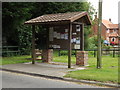
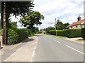
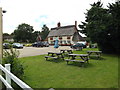
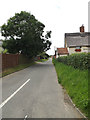
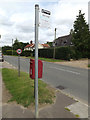
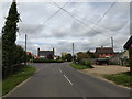
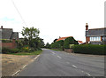
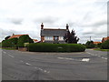
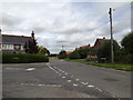
27 photos from this area
Area Information
Key information about the IP22 2NF including its size, population, and administrative classification.
- Area Type
- Postcode
- Area Size
- 15.4 hectares
- Population
- 2394
- Population Density
- 67 people/km²
House Prices in IP22 2NF
32
Properties
£293,937
Average Sold Price
£136,000
Lowest Price
£555,000
Highest Price
Showing 32 properties
| Address | Type | Beds | Baths | Last Sale Price | Last Sale Date | |
|---|---|---|---|---|---|---|
| 15 The Green, North Lopham, IP22 2NF | house | 4 | 2 | £415,000 | Mar 2025 | |
| 16 The Green, North Lopham, IP22 2NF | Semi-detached | 4 | 1 | £380,000 | Mar 2025 | |
| 18 The Green, North Lopham, IP22 2NF | Terraced | 2 | 1 | £294,500 | Aug 2023 | |
| 24 The Green, North Lopham, IP22 2NF | Detached | 3 | 1 | £485,000 | Oct 2022 | |
| Drift View, 7D The Green, North Lopham, IP22 2NF | Detached | 4 | 3 | £555,000 | Mar 2021 | |
| 4 The Green, North Lopham, IP22 2NF | house | 2 | - | £255,000 | Jul 2020 | |
| 20 The Green, North Lopham, IP22 2NF | Cottage | 2 | 1 | £175,000 | Nov 2018 | |
| 10A The Green, North Lopham, IP22 2NF | Detached | 4 | 3 | £285,000 | Sep 2014 | |
| 7A The Green, North Lopham, IP22 2NF | Detached | 3 | 2 | £335,000 | Aug 2014 | |
| 6 The Green, North Lopham, IP22 2NF | Bungalow | 2 | - | £220,000 | Nov 2013 |
Page 1 of 4
Energy Efficiency in IP22 2NF
Amenities
Schools
| Rank | School | Type | Entry gender | Ages |
|---|
Explore more schools in this area
Go to Schools tabDemographics
Household Size
Two person
most common
Accommodation Type
Houses
most common
Tenure
76
majority
Ethnic Group
White
most common
Religion
N/A
most common
Household Composition
N/A
most common
Age
47
median
Adults (30-64 years)
most common
Household Deprivation
N/A
with no deprivation
NS-SEC
37
in Lower managerial occupations
Explore more demographic insights in this area
Go to Demographics tabPlanning
Planning Constraints
- Flood RiskPremium
- Ramsar Wetland SitesPremium
- Area of Outstanding Natural BeautyPremium
- Protected Nature ReservePremium
- Protected WoodlandPremium